What is recorded here
Situated on top of a low hill with good views of the surrounding countryside, Addinstown House located 190m to NW. Depicted on the 1837 OS Fair Plan map as a circular-shaped enclosure (WM014-012----) with a rectangular ruin in the interior annotated as ‘fort’ and ‘ruins’. On the 1838 ed. OS 6-inch map the enclosure is depicted standing inside a square-shaped tree plantation of post-1700 date. A trig. point in the SW quadrant of the monument marks the height 301 ft. No surface remains visible of levelled enclosure or rectangular building which stood inside the enclosure.
Compiled by: Frank Coyne and Caimin O'Brien
Date of upload: 27 August 2018
The monument record does not grant public access. Check the route and ask the landowner before entering private land.
- What survives
- Recorded monument
Places near here
 Dotted outlineFairy fort / ringfort · 22 yd
 Corn MillMill, corn · 1262 yd
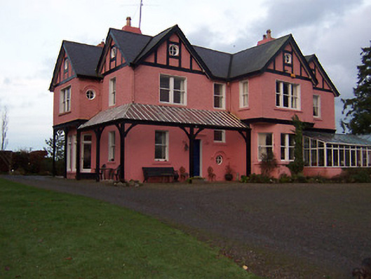 Lisclogher Househouse · 1461 yd
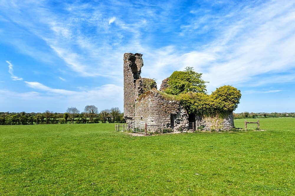 CastleCastle, tower house · 1.2 mi
 Enclosure in Heathstown (delvin By.)Enclosure · 1.2 mi
 Bawn in Heathstown (delvin By.)Bawn · 1.5 mi
 Persian WalnutPersian Walnut · 2.0 mi
 European YewEuropean Yew · 2.0 mi
 FraineMountain / peak · 2.8 mi
 Drewstown LittleMountain / peak · 4.0 mi
 FarmaphobiaHeritage attraction · 5.2 mi
 Causey FarmHeritage attraction · 5.2 mi