
What is recorded here
Early/mid 18th century 2-storey T-shaped house over basement. Entrance front (E) of 7 bays; central wide breakfront with baseless pediment (Bence Jones 1978, 47). Wide central door ope incorporating decoratively glazed sidelights under wide fanlight; narrow rectangular windows on either side of ope. Central sash window at 1st floor flanked by similarly narrow windows; lunette in pediment. Steps over basement up to door. Hipped roof; two off-centre chimneys. Central hipped projection to rear with round-headed stairway window. Demolished c. 1984. Structure (castle/house) (CO113-036----) marked in vicinity of this house on Down Survey (1655-6) (1652) map, of which nothing appears to remain (Healy 1989, 233).
The above description is derived from the published 'Archaeological Inventory of County Cork. Volume 2: East and South Cork' (Dublin: Stationery Office, 1994). In certain instances the entries have been revised and updated in the light of recent research.
Date of upload/revision: 14 January 2009
The monument record does not grant public access. Check the route and ask the landowner before entering private land.
- What survives
- Recorded monument
Places near here
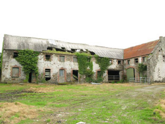 Britfieldstownoutbuilding · 50 yd
 Fulacht fia in BritfieldstownFulacht fia · 209 yd
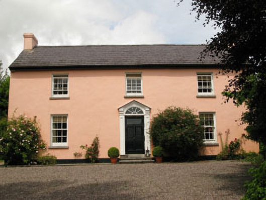 Robert's Cove Househouse · 289 yd
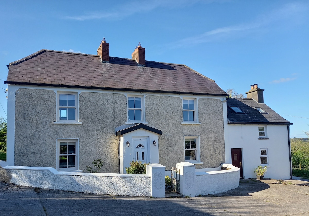 Enclosure in BallyfoyleEnclosure · 1512 yd
 Rocky BayBeach / strand · 1681 yd
 View Cork HarbourViewpoint · 1.2 mi
 Fountainstown BeachBeach / strand · 2.0 mi
 Castle (in Ruins)Castle, tower house · 3.8 mi
 Crosshaven Tourist OfficeVisitor information · 4.0 mi
 Coolmore WoodWood · 4.2 mi
 Roches PointHeadland · 4.3 mi
 Castle (Site of)Castle, unclassified · 4.3 mi
Other information
Photo: Credit not shown in the picture search · Rights wording not checked; contact us if this picture should be removed