What is recorded here
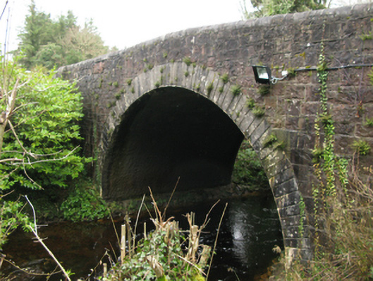
Single-arch road bridge over river, extant 1838. Part creeper- or ivy-covered tuck pointed snecked rock faced sandstone walls with repointed hammered limestone rounded coping to parapets. Single round arch with drag edged rusticated limestone ashlar voussoirs. Sited spanning Abhainn Ghleann Sála [Glensaul River] with unkempt banks to river.
A bridge representing an integral component of the early nineteenth-century civil engineering heritage of Tuar Mhic Éadaigh [Toormakeady] with the architectural value of the composition, one recalling the contemporary Delpi Bridge (1823; see 31311502), suggested not only by the construction in a ruby-coloured sandstone offset by "sparrow pecked" sheer limestone dressings demonstrating good quality workmanship, but also by the elegant "sweep" of the arch making a pleasing visual statement at a crossing over Abhainn Ghleann Sála [Glensaul River]: meanwhile, a much-weathered benchmark remains of additional interest for the connections with cartography and the preparation of maps by the Ordnance Survey (established 1824).
This does not grant access. Most recorded buildings are privately owned; view them only from public ground unless the owner allows entry.
Places near here
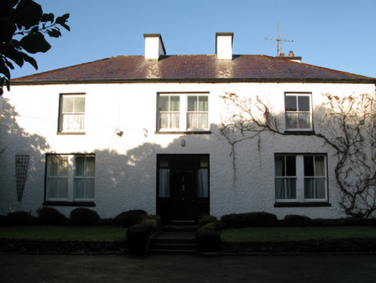 rectory/glebe/vicarage/curate's houserectory/glebe/vicarage/curate's house · 125 yd
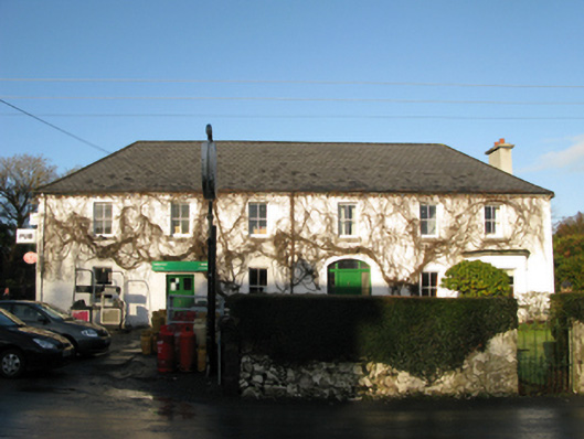 hotelhotel · 177 yd
 Coill Thuar Mhic ÉadaighWood · 1160 yd
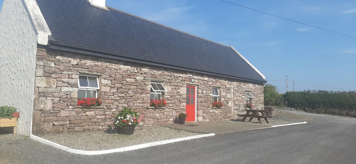 ToberkeelaghHoly well · 1.3 mi
 Devenish RocksNamed rock · 2.4 mi
 CarrigeenbaunNamed rock · 2.5 mi
 Runnet HillMountain / peak · 2.7 mi
 Devenish IslandIslet · 2.7 mi
 Doon RockIslet · 2.9 mi
 Sweathouse in Derrymore (kilmaine By.)Sweathouse · 3.2 mi
 CastleCastle, unclassified · 4.7 mi
 Castle in ruinsCastle, unclassified · 4.8 mi
Other information
Photo: National Inventory of Architectural Heritage · Website use allowed for educational or private purposes with source credit