What is recorded here
Scotland's National Record of the Historic Environment records Bridge of Weir, Kilbarchan Road, War Memorial as War Memorial (20th Century) (1920). The official map says its point is accurate as follows: NGR given to the nearest 1m. The record does not by itself mean that the public may enter the place.
The historic-place record does not grant public access. Check current conditions and ownership before entering land or a building.
Places near here
 War MemorialMemorial · 21 yd
 Bridge of Weir, Castle Terrace, GeneralGeneral View (period Unassigned) · 36 yd
 Bridge of Weir, Lintwhite Crescent, Lintwhite SchoolSchool (19th Century) · 274 yd
 Bridge of WeirCist (period Unassigned) · 329 yd
 Bridge of Weir, Bankend Road, GeneralGeneral View (period Unassigned) · 443 yd
 Penwold HouseCastle (medieval) · 1549 yd
 Brookfield, Bridge of Weir Road, Kilbarchan CemeteryCemetery (early 20th Century) · 1.3 mi
 Weaver's CottageMuseum · 1.4 mi
 Little Witchmoss WoodWood · 1.8 mi
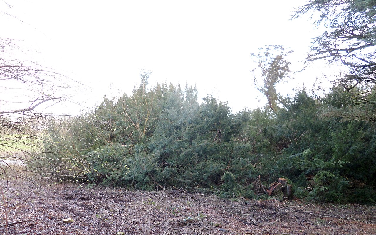 Craigends YewEuropean Yew · 1.8 mi
.jpg?width=1280) Merchiston HospitalNo Class (event) (period Unassigned) · 2.0 mi
Merchiston HospitalNo Class (event) (period Unassigned) · 2.0 mi Millennium Milepost Black Cart WaterVisitor information · 2.7 mi