
What is recorded here
Three-arch road bridge over river, extant 1880. Tuck pointed snecked limestone walls centred on drag edged rock faced limestone ashlar battered piers with tooled cut-limestone stringcourses supporting parapets having lichen-covered tooled hammered limestone rounded coping centred on drag edged rock faced cut-limestone coping. Single elliptical central arch with tooled limestone ashlar voussoirs centred on rock faced cut-sandstone keystones. Pair of segmental flanking arches with tooled limestone ashlar voussoirs. Sited spanning Owennadarrydivva or Newport River.
A bridge representing an integral component of the nineteenth-century civil engineering heritage of Newport with the architectural value of the composition, one recalling contemporary bridges erected under the Drainage (Ireland) Act, 1846 (see 31311806; 31312215), confirmed not only by the robust rock faced surface finish offset by "sparrow pecked" sheer limestone dressings demonstrating good quality workmanship, but also by the elegant "sweep" of the arches making a pleasing visual statement at a crossing over the Owennadarrydivva or Newport River: meanwhile, a discreet benchmark remains of additional interest for the connections with cartography and the preparation of maps by the Ordnance Survey (established 1824).
This does not grant access. Most recorded buildings are privately owned; view them only from public ground unless the owner allows entry.
Places near here
 viaductviaduct · 83 yd
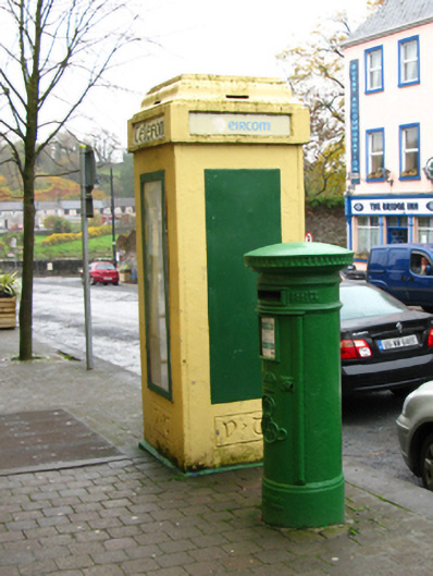 post boxpost box · 105 yd
 IndicatedEnclosure · 541 yd
 Enclosure in Sandymount,teevmoreEnclosure · 973 yd
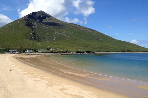 Sixpenny IslandIslet · 1692 yd
 CastleCastle, unclassified · 1.2 mi
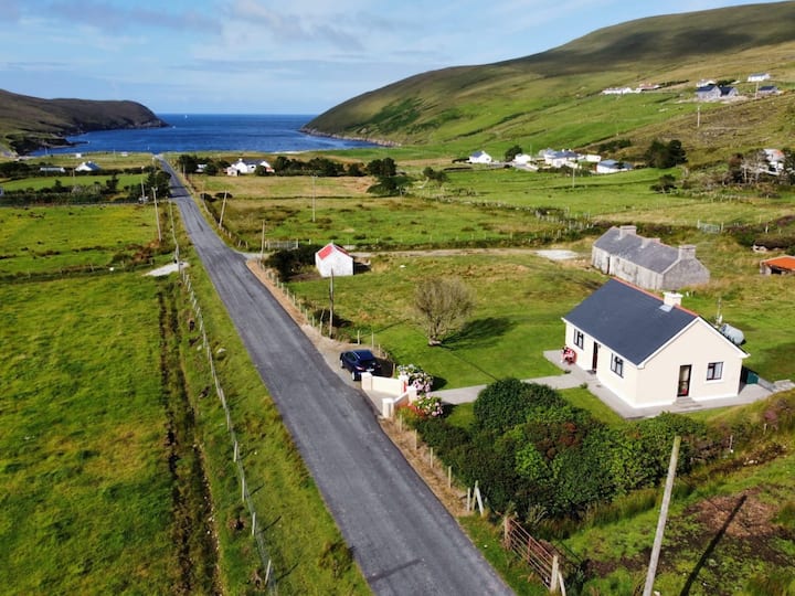 IllanavrickIslet · 1.3 mi
 Rossanrubble PointHeadland · 2.6 mi
 Brockagh Castle in ruinsCastle, tower house · 2.8 mi
 Ross PointHeadland · 3.2 mi
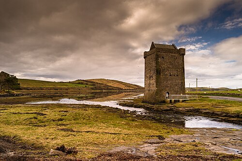 Rockfleet CastleCastle · 3.4 mi
 Killeen CemeteryVisitor information · 3.9 mi
Other information
Photo: Colin Park · CC BY-SA 2.0