What is recorded here
A bridge, with a castle (KK027-060----) on its S side is depicted on the Down Survey (1655-6) barony map of Kells, County Kilkenny on the S bank of the Kings River, at 'Spruces hayes' (Hibernia Regnum, courtesy of Trinity College Dublin). A more simplified version of the bridge, with a castle (KK027-061----) on the N side, is shown on the Down Survey barony map of Shillelogher which shows the corresponding N side of the river. The location of the bridge and castles correspond roughly to the location of Newtown Bridge which crosses both the Kings River and a smaller tributary, which runs parallel to it to the N, before joining it c. 230m to the E. It is likely that this bridge gave access to, and egress from, the medieval settlement at Earlstown (KK027-012----), located immediately N of the Kings River. The precise location of the bridge and castles depicted on the Down Survey is unknown. Spruceshay townland may originally have extended slightly further W, in which case the bridge and castles could be in the N W portion of the modern townland of Rathculbin, which together with Spruceshay form the townlands S of the settlement at Earlstown, now in the modern townlands of Newtown (Baker) and Newtown (Shea).
See attached:
KK027-092----_01 extract from the Down Survey (1655-6) barony map of Kells, County Kilkenny (Hibernia Regnum, courtesy of Trinity College Dublin)
KK027-092----_02 extract from the Down Survey (1655-6) barony map of Shillelogher, County Kilkenny (Hibernia Regnum, courtesy of Trinity College Dublin)
Compiled by: Jean Farrelly
Date of upload: 23 May 2023
The monument record does not grant public access. Check the route and ask the landowner before entering private land.
- What survives
- Recorded monument
Places near here
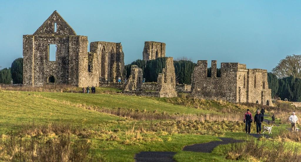 CastleCastle, unclassified · 1 yd
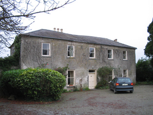 Kells Housefarm house · 308 yd
 CrossCross, Market cross · 338 yd
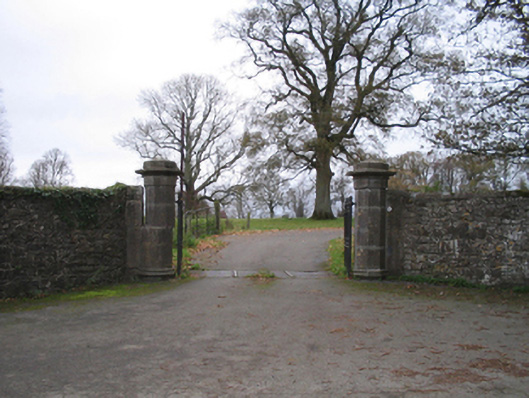 The Priorygates/railings/walls · 351 yd
 Font in Glebe (kells By.)Font · 408 yd
 Kells Augustinian PrioryHeritage attraction · 565 yd
 Water TowerCastle · 626 yd
 Famous Horses of KellsMemorial · 666 yd
 Kells Loop WalkWalking route · 672 yd
 Kells Priory Mill MuseumMuseum · 978 yd
 Lacken WellSpring · 1243 yd
 RIC BarracksMemorial · 1.8 mi