What is recorded here
Unlocated bridge within townland that is depicted on 1657 map of Laois (O'Flanagan 1933, vol. 2, 298).
Compiled by: Caimin O'Brien
Date of upload: 17 December 2007
The monument record does not grant public access. Check the route and ask the landowner before entering private land.
- What survives
- Recorded monument
Places near here
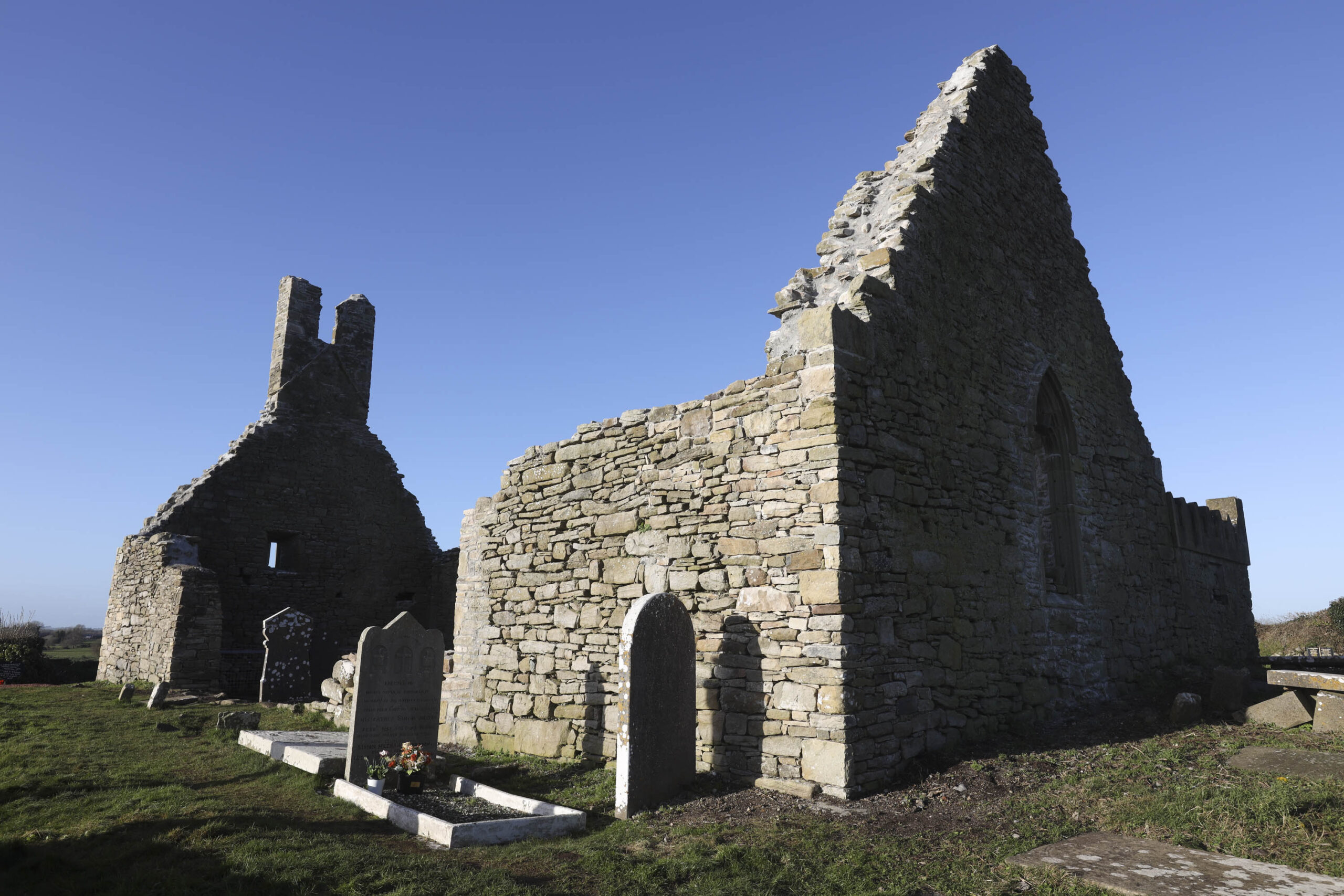 Church in Camcloon (upperwoods By.)Church · 1010 yd
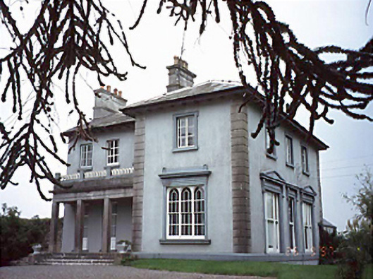 Shanahoe Househouse · 1180 yd
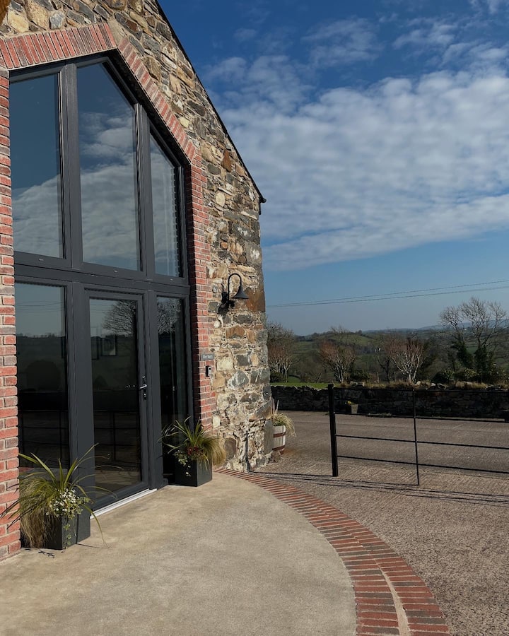 Enclosure in Shanahoe,springmountEnclosure · 1334 yd
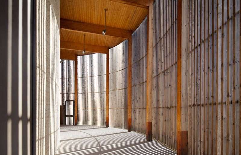 Ecclesiastical enclosure in DerrykearnEcclesiastical enclosure · 1.1 mi
 Killeany Castle (ruins)Castle · 1.3 mi
 Sweet ChestnutSweet Chestnut · 1.8 mi
 Scotch RathHouse, fortified house · 2.2 mi
 Sitka SpruceSitka Spruce · 2.8 mi
 Abbeyleix Heritage CentreMuseum · 2.8 mi
 Knocknamoe HouseMemorial · 3.0 mi
 Heywood GardensHeritage attraction · 5.6 mi
 1798 MonumentMemorial · 5.9 mi