What is recorded here
Thomas Stuish’s map of 1681, copied in 1765 by Richard Frizell, shows a, ‘New Bridge’ c. 150m E of the ‘Old Bridge’, the latter being the bridge (KK026-010083-) between Upper and Lower Bridge Street (Manning 1998, 63, fig. 13). It is possible that the ‘New Bridge’ was built in the 17th century, though the name ‘new’ can remain in place for many generations, so it could be even earlier in date. It seems likely to have been at the point where Clothier’s Lane runs N from Mill Street (formerly East Street) to the river, providing access to the Abbey lands on the N side of the river. There is no visible trace of the bridge at ground level.
See attached:
KK026-010025-_01 Thomas Stuish’s map of 1681, copied in 1765 by Richard Frizell (from Manning 1998,
Compiled by: Jean Farrelly
Date of upload: 24 June 2022
This remains an important historical record, but the official description says the monument is no longer visible or has been destroyed. The monument record does not grant public access. Check the route and ask the landowner before entering private land.
- What survives
- No visible remains or recorded as destroyed
Places near here
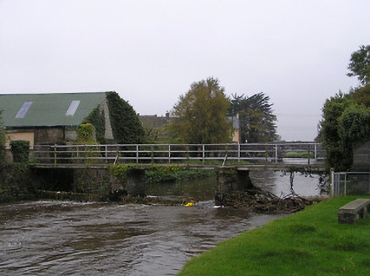 foot bridgefoot bridge · 43 yd
 St. Augustines WellHoly well · 45 yd
 Callan Augustinian Abbeygates/railings/walls · 96 yd
 Stop 7: Callan's Augustinian FriaryVisitor information · 152 yd
 CrossCross, Market cross · 167 yd
 CastleCastle, tower house · 173 yd
 Humphrey O'SullivanMemorial · 184 yd
 St Mary's ChurchVisitor information · 197 yd
 Margaret RyanMemorial · 270 yd
 West CourtCastle, unclassified · 854 yd
 Edmund Rice Heritage CentreMuseum · 1172 yd
 Mill IslandIslet · 1.1 mi