
What is recorded here
Single-arch hump back bridge over canal, opened 1800. Part ivy-covered benchmark-inscribed coursed rough cut limestone walls with cut-limestone coping to parapets. Single segmental arch with margined tooled limestone ashlar voussoirs centred on margined tooled cut-limestone keystones. Sited spanning canal with unkempt grass banks to canal.
A bridge representing an important component of the civil engineering heritage of County Kildare with the architectural value of the composition confirmed not only by the sheer blue-grey limestone dressings demonstrating good quality workmanship, but also by the elegant "sweep" of the arch making a pleasing visual statement at a crossing over the Levitstown Cut of the Barrow Navigation opened (1800) by the Barrow Navigation Company (incorporated 1790): meanwhile, a benchmark remains of additional interest for the connections with cartography and the preparation of maps by the Ordnance Survey (established 1824).
This does not grant access. Most recorded buildings are privately owned; view them only from public ground unless the owner allows entry.
Places near here
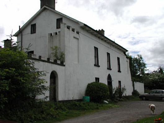 Grangeford Housefarm house · 199 yd
 Tankardstown Church (in ruins)Church · 578 yd
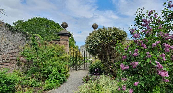 Enclosure in Rosetown (grangemellon Ed)Enclosure · 1134 yd
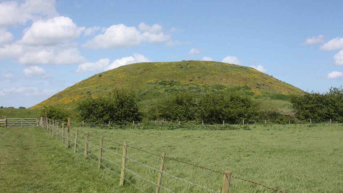 The MoundCastle, motte and bailey · 1167 yd
 .Site of St. Legers CastleCastle, unclassified · 1434 yd
 Enclosure in KilmoronyEnclosure · 1.0 mi
 Dollardstown WoodForest · 1.4 mi
 Lorcán Ó TuathailMemorial · 3.1 mi
 Mullaghreelan WoodForest · 3.2 mi
 ProclamationMemorial · 4.9 mi
 Franciscan FriaryHeritage attraction · 5.2 mi
 Castledermot Round TowerHeritage attraction · 5.2 mi
Other information
Photo: liam murphy · CC BY-SA 2.0