What is recorded here
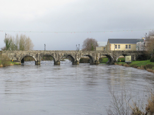
Seven-arch road bridge over river, extant 1895. Tuck pointed coursed rock faced cut-limestone wall to upriver (south-west) elevation centred on drag edged rock faced limestone ashlar triangular cutwaters to piers having drag edged tooled cut-limestone pyramidal capping with drag edged rock faced cut-limestone stringcourses supporting parapets having lichen-covered drag edged rock faced rough hewn limestone coping. Series of seven round arches with drag edged tooled limestone ashlar voussoirs. Sited spanning River Moy with grass banks to river.
A bridge representing an integral component of the civil engineering heritage of County Mayo with the architectural value of the composition, one retaining the basis of 'a very ancient bridge…now in a state of decay' (Lewis 1837 I, 634), confirmed not only by the rock faced surface finish offset by "sparrow pecked" sheer limestone dressings demonstrating good quality workmanship, but also by the elegant "sweep" of the arches making a pleasing visual statement at a crossing over the River Moy: meanwhile, a discreet benchmark remains of additional interest for the connections with cartography and the preparation of maps by the Ordnance Survey (established 1824).
This does not grant access. Most recorded buildings are privately owned; view them only from public ground unless the owner allows entry.
Places near here
 handball alleyhandball alley · 73 yd
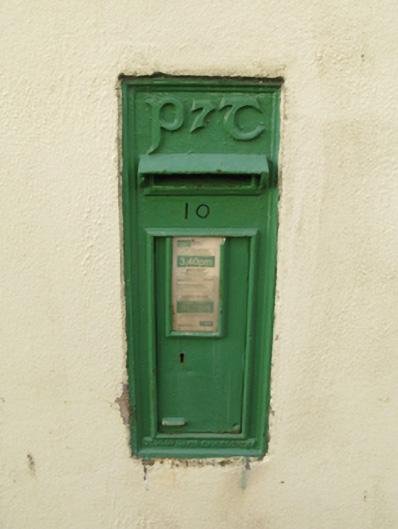 post boxpost box · 116 yd
 Foxford Woollen MillsHeritage attraction · 178 yd
 Admiral William BrownMemorial · 180 yd
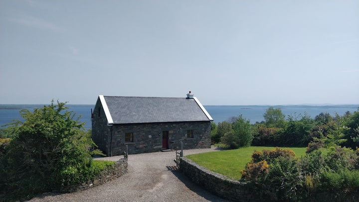 Enclosure in BellassEnclosure · 182 yd
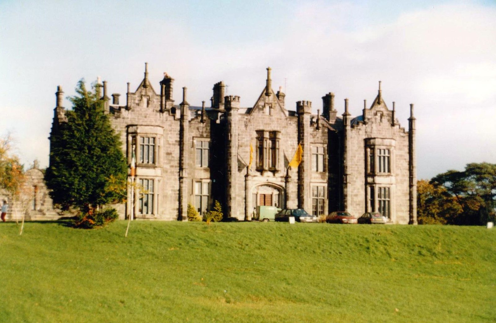 CastleCastle, unclassified · 205 yd
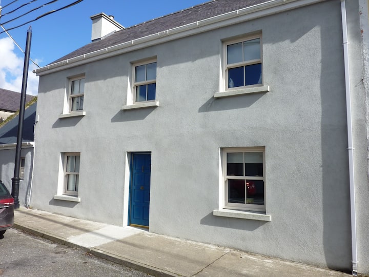 Mass-rock in FoxfordMass-rock · 617 yd
 Drummin ForestForest · 1.7 mi
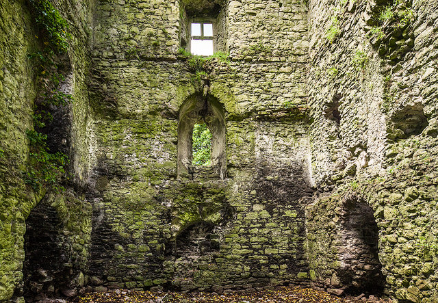 Castle in ruinsCastle, tower house · 2.1 mi
 Lough CullinViewpoint · 2.1 mi
 Cliff IslandIslet · 3.4 mi
 Michael DavittMemorial · 4.2 mi
Other information
Photo: National Inventory of Architectural Heritage · Website use allowed for educational or private purposes with source credit