
What is recorded here
Three-arch rubble stone road bridge over river, built 1818. Damaged, 1922, with central arch destroyed. Reconstructed, 1925. Random rubble limestone walls (section of limestone ashlar construction over central arch) with remains of unpainted roughcast over, limestone ashlar tapered triangular cut-water piers having tooled cut-limestone capping, inscribed cut-limestone date stone/plaque, and cut-limestone coping to parapets having cast-iron lamp standards over. Series of three segmental arches with limestone ashlar voussoirs, and squared rubble stone soffits having render over. Sited spanning Kings River with random rubble stone retaining walls to river leading to grass banks having random rubble stone retaining walls.
An elegantly-appointed bridge representing an attractive feature of civil engineering heritage significance in the townscape of Callan forming a crossing over the Kings River at the meeting point of the north and south areas of the town. The bridge is of additional importance for the associations with 'The Troubles' (1922-3) when the central arch was destroyed: subsequently reinstated to the original form under the direction of R.F. Bowen (n. d.), the County Surveyor, the bridge considerably enhances the character of the locality.
This does not grant access. Most recorded buildings are privately owned; view them only from public ground unless the owner allows entry.
Places near here
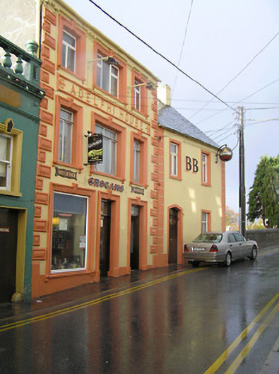 Adelphi Househotel · 29 yd
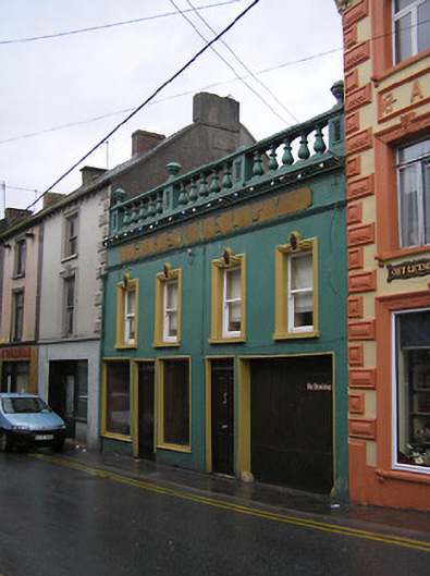 P. Fennellyhouse · 36 yd
 CastleCastle, tower house · 115 yd
 CrossCross, Market cross · 130 yd
 Stop 7: Callan's Augustinian FriaryVisitor information · 165 yd
 The MotteVisitor information · 165 yd
 Margaret RyanMemorial · 165 yd
 Humphrey O'SullivanMemorial · 167 yd
 St. Augustines WellHoly well · 170 yd
 West CourtCastle, unclassified · 691 yd
 Edmund Rice Heritage CentreMuseum · 1019 yd
 Mill IslandIslet · 1.2 mi
Other information
Photo: Humphrey Bolton · CC BY-SA 2.0