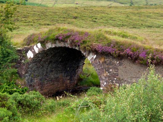
What is recorded here
Single-arch hump back road bridge over river, extant 1838. Now disused. Coursed rubble sandstone walls with parapets now missing. Single round arch with lichen-covered sandstone ashlar voussoirs. Sited spanning river with unkempt banks to river.
An obsolete bridge identified as an integral component of the early nineteenth-century civil engineering heritage of County Mayo on account of the connections with the development of the so-called "Central Road" (1820-4) by William Bald (c.1789-1857), cartographer and engineer (appointed 1809).
This does not grant access. Most recorded buildings are privately owned; view them only from public ground unless the owner allows entry.
Places near here
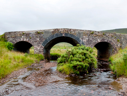 bridgebridge · 53 yd
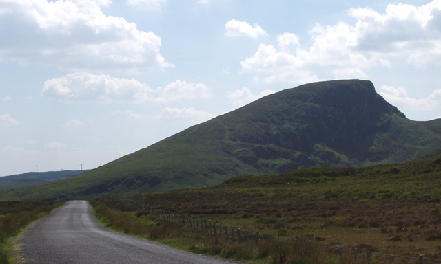 BurrenMountain / peak · 1303 yd
 IndicatedEnclosure · 1.4 mi
 Aglish National Schoolschool · 1.5 mi
 FarbreigaMountain / peak · 2.9 mi
 Bush IslandIslet · 3.7 mi
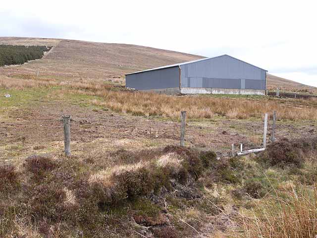 Enclosure in Knockbaun (carra By. Islandeady Par.)Enclosure · 3.9 mi
 IslandmoreIslet · 4.6 mi
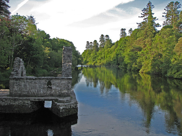 River WoodWood · 5.4 mi
 CastleCastle, unclassified · 5.4 mi
 National Museum of Ireland, Country LifeMuseum · 5.5 mi
 Sunken GardenWood · 5.5 mi
Other information
Photo: National Inventory of Architectural Heritage · Website use allowed for educational or private purposes with source credit