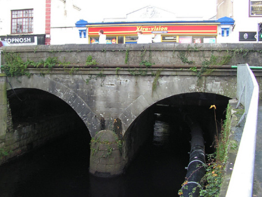
What is recorded here
Two-arch road bridge over river, extant 1838[?]. Part repointed tuck pointed limestone ashlar centred on drag edged tooled limestone ashlar battered rounded cutwater to pier having domed capping with dragged cut-limestone stringcourse supporting parapet having benchmark-inscribed drag edged tooled cut-limestone rounded coping. Pair of segmental arches with lichen-covered drag edged rusticated limestone ashlar voussoirs centred on drag edged tooled cut-limestone "bas-relief" keystones. Sited spanning canalised Castlebar River.
A bridge representing an integral component of the civil engineering heritage of Castlebar with the architectural value of the composition confirmed not only by the "sparrow pecked" sheer limestone dressings demonstrating good quality workmanship, but also by the elegant "sweep" of the arches making a pleasing visual statement at a crossing over the canalised Castlebar River: meanwhile, a benchmark remains of additional interest for the connections with cartography and the preparation of maps by the Ordnance Survey (established 1824).
This does not grant access. Most recorded buildings are privately owned; view them only from public ground unless the owner allows entry.
Places near here
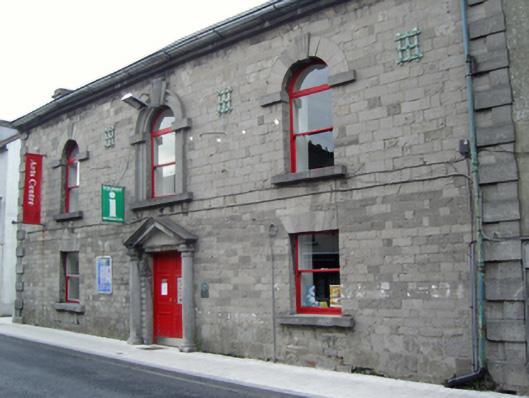 The Linen Hallbuilding misc · 49 yd
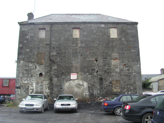 store/warehousestore/warehouse · 114 yd
 Saint John Baptist de La SalleMemorial · 259 yd
 Battle of CastlebarMajor battlefield · 388 yd
 1798 MemorialMemorial · 407 yd
 IndicatedFairy fort / earthen ringfort · 1203 yd
 Black FortFairy fort / earthen ringfort · 1289 yd
 Barry CastleRuins · 1389 yd
 Breaffy WoodsWood · 2.4 mi
 Raheens WoodForest · 2.6 mi
 CastleCastle, unclassified · 4.0 mi
 National Museum of Ireland, Country LifeMuseum · 4.1 mi
Other information
Photo: National Inventory of Architectural Heritage · Website use allowed for educational or private purposes with source credit