What is recorded here
Described as ‘Brideswell Grave Yard’ on the 1839 ed. of the OS 6-inch map, and as ‘Brideswell Burial Ground’ on the 1940 edition of the map. It is situated on a gentle NW-facing slope. This is a triangular graveyard (dims. c. 40m NW-SE; c. 28m NE-SW) with a blunt apex at NE defined by an earth and stone bank. It contains two 19th-century gravestones, and a fragment of a bullaun stone. This is a piece of granite (dims 0.35m x 0.3m; surviving H 0.05-0.15m) with the base of a basin (diam. 0.17m; D 0.04m). Archaeological testing (04E1353) c. 30m to the W failed to produce an related archaeological material (Wiggins 2007), and archaeological testing (17E0427) immediately to the E had a similar result (Shanahan 2017; excavations.ie 2017: 250). Archaeological testing (16E0514) by T. Breen immediately to the NE produced no archaeological material (excavations.ie 2016:815). Bride's Well (WX005-038001-) is c. 150m to the NW with the remains of the conjoined masonry circular huts (WX006-038002-) adjacent.
The above description is derived from the published 'Archaeological Inventory of County Wexford' (Dublin: Stationery Office, 1996). In certain instances the entries have been revised and updated in the light of recent research.
Compiled by: Michael Moore
Date of upload/revision: 1 March 2012
Amended: 14 May, 2014; 19 September 2019; 23 October 2020
The monument record does not grant public access. Check the route and ask the landowner before entering private land.
- What survives
- Recorded monument
Places near here
 Saint Brigid's WellSpring · 179 yd
 Brides WellHoly well · 182 yd
 Enclosure in Brideswell LittleEnclosure · 826 yd
 SlievegowerMountain / peak · 1734 yd
 Blue SchoolMemorial · 1.3 mi
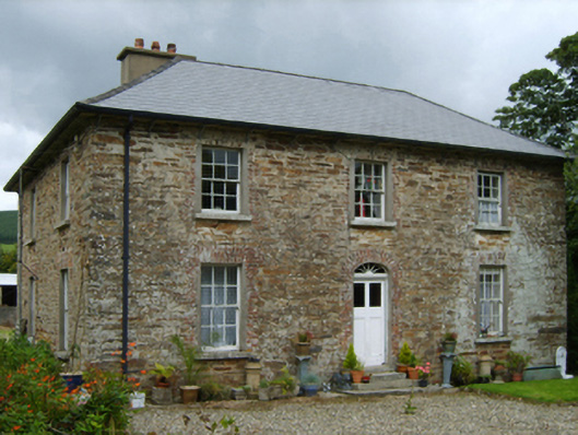 farm housefarm house · 1.8 mi
 Millstone quarry in MotabowerMillstone quarry · 2.1 mi
 Craan HillMountain / peak · 2.6 mi
 Camolin WoodForest · 3.5 mi
 Mountnebo WoodForest · 3.6 mi
 Ferns Castle (in ruins)Castle, Anglo-Norman masonry castle · 7.0 mi
 CastleCastle, unclassified · 7.8 mi