What is recorded here
Three brick kiln clamps stood in the wet lowland west of the River Fergus, producing irregular terracotta bricks marked with grass impressions. They belonged to a commercial operation old enough to have been cut through by a mid-ninth-century drain, yet they vanished beneath rubble and topsoil until road works exposed them. The clay, fire and human labour are gone, but the shape of their industry still presses through the memory of the place.
A group of three brick kiln clamps in a lowlying wet area immediately W of the River Fergus, excavated in 2004 (Licence no. 04E0027) in advance of the construction of the N85 Western Relief Road. Three principal areas of brick-making activity were identified, each situated directly on alluvium and sealed by a deposit of broken brick rubble and topsoil. The bricks manufactured were irregular in size, terracotta in colour and many retained surface impressions of grass. The number of kilns found suggests brick manufacturing on an industrial or commercial scale. Two of the clamps were truncated by a back drain recorded on the OS 1842 ed. of the 6-inch map indicating that the clamps are at least older than the mid 19th century. (Hull and Taylor 2005, 35-41; Taylor 2007, 34; Bermingham et al. 2012, 93-5)
Compiled by: Mary Tunney
Date of upload: 12 July 2016
The monument record does not grant public access. Check the route and ask the landowner before entering private land.
- What survives
- Recorded monument
Places near here
 Clare Abbey (in ruins)Religious house, Augustinian canons · 413 yd
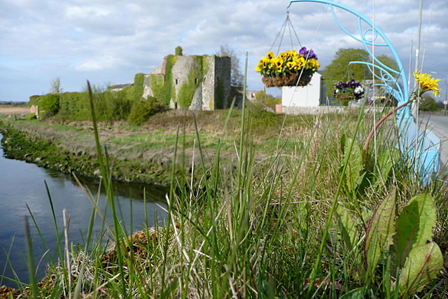 Clare CastleCastle · 1284 yd
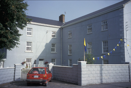 Clarecastle Barracksbarracks · 1297 yd
 G.A.A. Commemorative StoneMemorial · 1384 yd
 Irish Famine MemorialMemorial · 1413 yd
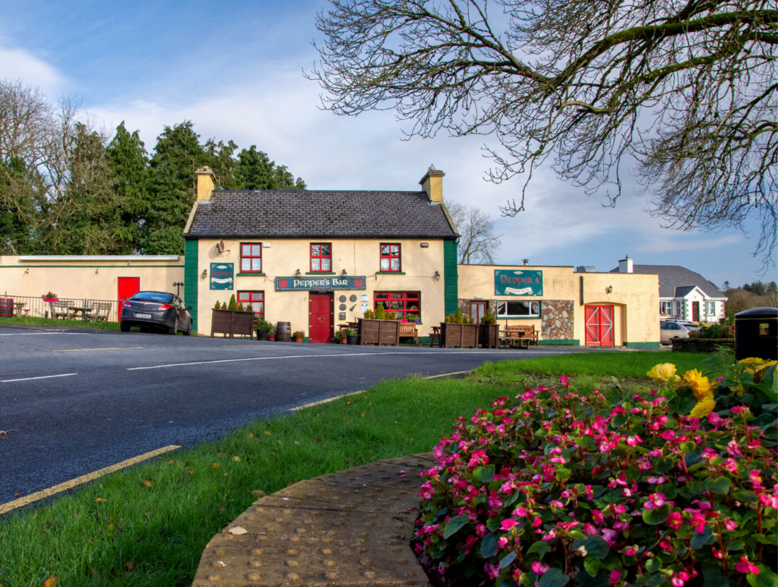 IndicatedFairy fort / earthen ringfort · 1630 yd
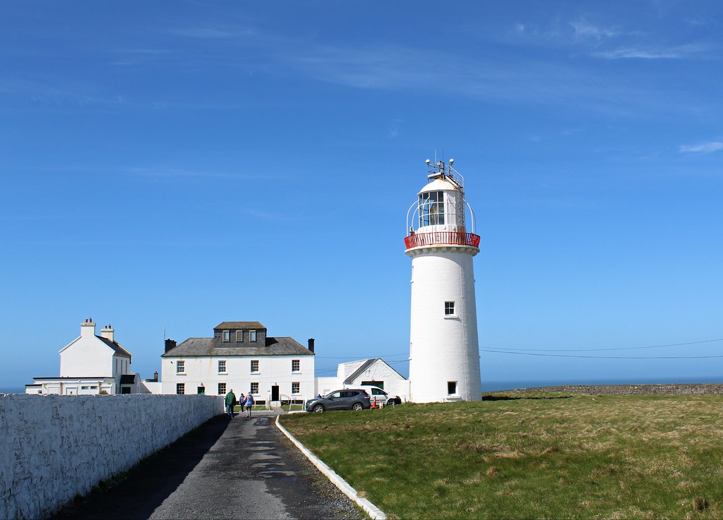 Enclosure in KillowEnclosure · 1.2 mi
 CastleCastle, tower house · 1.3 mi
 Clare MuseumMuseum · 1.4 mi
 Ennis AbbeyMuseum · 1.5 mi
 Post Office FieldNature reserve · 1.6 mi
 Rockmount WoodWood · 1.7 mi