
What is recorded here
Half-buried under heather on Carron Mountain, the boundary cairn still drops its stones through the grass like a fist pushing through a blanket. It marks the line between Cork and Limerick, not with a wall or warning, but with a small pile of rocks that people kept rebuilding because the mountain would not stop swallowing them. To walk past it is to admit the border exists; to climb over it is to say the mountain belongs to nobody.
One of five cairns (15191, 15193, 15195, 15192) near top of Carron Mountain (see 11813), marking the Cork-Limerick border. Cairn (3.5m N-S; 3m E-W; H 0.6m) is covered in grass and heather; several large stones can be seen protruding through overgrowth.
The above description is derived from the published 'Archaeological Inventory of County Cork. Volume 4: North Cork' (Dublin: Stationery Office, 2000). In certain instances the entries have been revised and updated in the light of recent research.
Date of upload/revision: 14 January 2009
Boundary Cairn, Streamhill East is a prehistoric boundary marker, likely dating to the Neolithic or Bronze Age, and is significant as part of a group of cairns used to demarcate the ancient Cork-Limerick territorial divide.
The monument record does not grant public access. Check the route and ask the landowner before entering private land.
- What survives
- Recorded monument
Places near here
 MoundsCairn, boundary cairn · 106 yd
 CairnCairn, boundary cairn · 114 yd
 Carron MountainMountain / peak · 164 yd
 Little CarronMountain / peak · 831 yd
 Kilquane Church (in ruins)Church · 1.4 mi
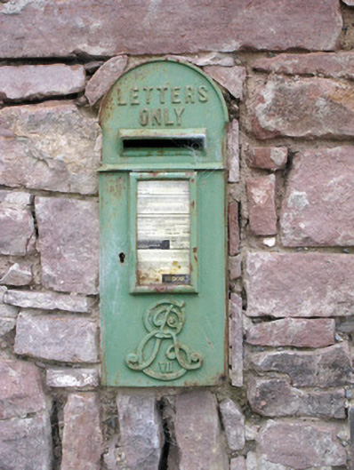 post boxpost box · 1.5 mi
 BallinaboolaVisitor information · 1.7 mi
 Ballymacshaneboy Castle (in ruins)Castle, unclassified · 2.1 mi
 Ardskeagh MoatCastle, motte · 2.5 mi
 ToberSpring · 4.0 mi
 Lady's WellSpring · 4.1 mi
 Rogan's Rock CovertWood · 4.5 mi
Other information
Photo: Credit not shown in the picture search · Rights wording not checked; contact us if this picture should be removed