What is recorded here
Knocks holds three boulder burials arranged in a tight triangle, each resting on hidden support stones within rolling pasture. A ringfort stands eight metres east, suggesting these were not forgotten relics but active markers for a living community. The stones may have guided burial, memory or claim, while people moved around them in daylight and darkness.
On level patch of ground in rolling pasture. Three boulder burials set in form of triangle c. 1.5m apart. Boulder to NE (1.8m x 1.7m; T 0.9m) rests above four support stones. Subcircular slab to SW (diam. 2.4m; T 0.6m) rests above at least five support stones. Two support stones are visible beneath the cover stone (2m x 1.3m; T 0.65m) of NW monument. Ringfort (CO122-007004-) 8m to E.
The above description is derived from the published 'Archaeological Inventory of County Cork. Volume 1: West Cork' (Dublin: Stationery Office, 1992). In certain instances the entries have been revised and updated in the light of recent research.
Date of upload/revision: 14 January 2009
Boulder-burial in Knocks is a Bronze Age funerary monument, likely dating to the early to middle first millennium BCE. Its triangular arrangement and use of large boulders suggest a ritual or commemorative function, typical of megalithic traditions in the region.
The monument record does not grant public access. Check the route and ask the landowner before entering private land.
- What survives
- Recorded monument
Places near here
 Hut site in Knocks (carbery East (e.d) By.)Hut site · 415 yd
 Church in Knocks (carbery East (e.d) By.)Church · 468 yd
 IndicatedFairy fort / earthen ringfort · 826 yd
 Corran HillMountain / peak · 1.2 mi
 Castle DerryCastle · 1.2 mi
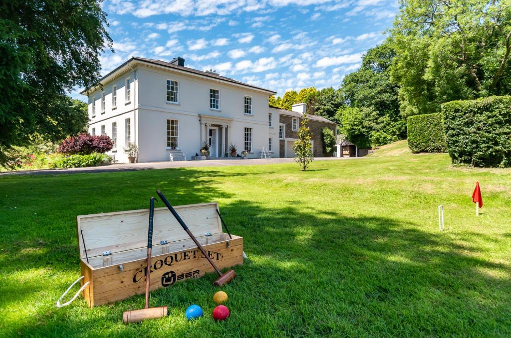 Country house in LiscubbaCountry house · 1.7 mi
 The GlenWood · 1.9 mi
 Fahanacowley Castle (Site of)Castle, unclassified · 2.0 mi
 Battle of the Big Cross (1798) Memorial MonumentMonument · 3.7 mi
 Irish National Forestry FoundationNature reserve · 3.9 mi
 Clonakilty Blackpudding Visitor CentreHeritage attraction · 5.1 mi
 Cloch na gCoillteMemorial · 5.1 mi