What is recorded here
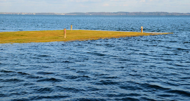
Boretree Island East is a small islet in County Down, Ireland. It is the eastern partner of a divided island name, suggesting two landmasses shared one identity before surveyors split them. The name Boretree may preserve a lost landscape, perhaps a row of trees that marked the shore or a boundary between territories. East and west islets often separate when seas rise or estates redraw coastlines, carrying one half of a forgotten whole into each fragment.
Boretree Island East is recorded as a islet in County Down. Its open map record supplies this location and any linked names or public references.
Places near here
 MEDIEVAL CHURCH; poss. PRE-NORMAN MONASTIC SITE; EARLY CHRISTIAN HARBOUR and FISH TRAPS in Chapel IslandMEDIEVAL CHURCH; poss. PRE-NORMAN MONASTIC SITE; EARLY CHRISTIAN HARBOUR and FISH TRAPS · 1611 yd
 The Temple of the WindsEstate Related Structures · 1.2 mi
 Mount StewartHeritage attraction · 1.2 mi
 Red Trail, Mount StewartWalking route · 1.3 mi
 Lake Walk, Mount StewartWalking route · 1.3 mi
 'Tir N'an Og' burial groundGraveyard · 1.5 mi
 Unfinished carved cross in Reagh IslandUnfinished carved cross · 1.5 mi
 Mid IslandIslet · 1.6 mi
 Ringneill QuayBay · 2.0 mi
 Reagh IslandIsland · 2.1 mi
 Grey Abbey HouseCastle · 2.5 mi
 Mahee CastleCastle · 2.8 mi