What is recorded here
Located c.20m N of Bunow River, which runs NW-SE, in low-lying flood-plain in slight depression. Roughly horse-shoe-shaped well (0.7m x 0.65). Stone blocks forming retaining wall (H 0.8m) with concrete mortar and concrete capping. Clear water c.0.1m deep, no bubbling. Top of wall level with external ground level. Well opening orientated ESE (almost E). No title on well shown on 1st (1840) ed. OS 6-inch map. According to IKerrin Survey the well is known as 'The Lady's Well' in Schools Manuscripts but this refers to 'Lady's Well' located in the same townland, half a mile NW of the 'Boiling Well' (Stout 1984, 90). Natural spring well.
The above description is derived from 'The Archaeological Inventory of County Tipperary. Vol. 1 - North Tipperary' compiled by Jean Farrelly and Caimin O'Brien (Dublin: Stationery Office, 2002). In certain instances the entries have been revised and updated in the light of recent research.
Date of upload/revision: 22 September 2008
The monument record does not grant public access. Check the route and ask the landowner before entering private land.
- What survives
- Recorded monument
Places near here
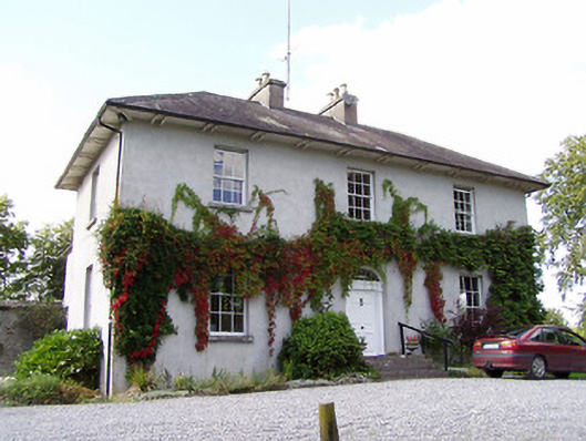 Beechmounthouse · 523 yd
 Enclosure in LoughanavattaEnclosure · 674 yd
 Hilltop enclosure in LoughanavattaHilltop enclosure · 886 yd
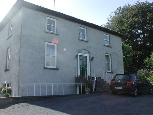 Mount Dudleyhouse · 1066 yd
 Roscrea Petty Sessions HouseHeritage attraction · 1.0 mi
 CastleCastle, unclassified · 1.1 mi
 European ashEuropean ash · 1.3 mi
 White MulberryWhite Mulberry · 1.7 mi
 Millennium GardenMemorial · 1.7 mi
 Bawn in DungarBawn · 1.8 mi
 Golden Grove HillMountain / peak · 1.8 mi
 Eagle HillMountain / peak · 2.1 mi