
What is recorded here
Blue plaque, Bridge House is shown and named in a reusable Geograph picture. The saved point is the picture's recorded map point.
The picture record does not grant public access. Use signed public paths and do not enter private land without permission.
Places near here
 Bridge HouseListed building · 18 yd
 The GrangeListed building · 150 yd
 Martock milestoneMonument or public art · 215 yd
 The Parish HallMemorial · 350 yd
 Market HouseMemorial · 478 yd
 Castle Reclamation, Parrett WorksCastle, fort or tower · 1597 yd
 Stone Squeeze by Carey's Mill BridgeStanding or carved stone · 1.0 mi
 Cartgate Picnic AreaPicnic place · 1.3 mi
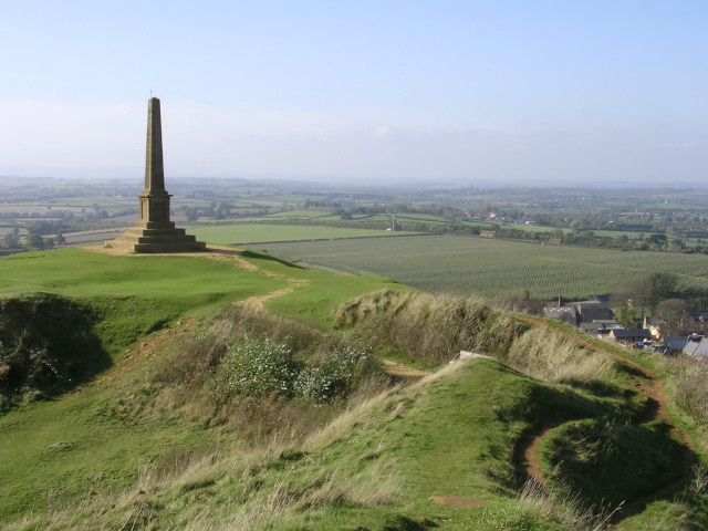 Stoke-sub-Hamdon war memorial, Hamdon HillMountain or hill · 1.5 mi
 East Lambrook Manor GardensHeritage attraction · 1.8 mi
 Hamdon HillMountain / peak · 1.8 mi
 Dutchie's OrchardNature reserve · 2.0 mi
Other information
Photo: Richard Webb · CC BY-SA 2.0