What is recorded here
Blakes Island is a vanished crannog in Lough Rea, County Galway, now marked only by a buoy where rectangular stones and lived rooms likely sat beneath the water. Kinahan examined the lake in 1862 and suspected artificial origin, while the 1838 map still drew its ghostly shape. The island may have been a home, a refuge or a forgotten marker of human pride, but the lake took back its edges and left behind a coordinates and a name.
In the NW sector of Lough Rea c. 95m from the shoreline to the N. Shown on the 1838 edition of the OS 6-inch map as a roughly subrectangular island (c. 33m E-W; c. 23m N-S). Kinahan (1861-4, 413), who examined all the islands in the lake in 1862, concluded that this was possibly a crannog. On inspection in August 1986 it was not visible above the water surface; a navigational buoy marked its location. See also GA105-103---- to GA106-198004-. (Wood-Martin 1886, 225-9)
Compiled by: Galway Archaeological Survey, UCG
Date of upload: 8 January 2020
The monument record does not grant public access. Check the route and ask the landowner before entering private land.
- What survives
- Recorded monument
Places near here
 Blake's IslandIslet · 1 yd
 Enclosure in St LaurencesfieldsEnclosure · 949 yd
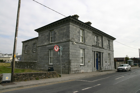 Loughrea Courthousecourt house · 1057 yd
 Barrack IslandIslet · 1058 yd
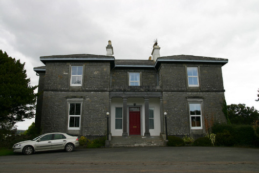 Coorheen Housecountry house · 1107 yd
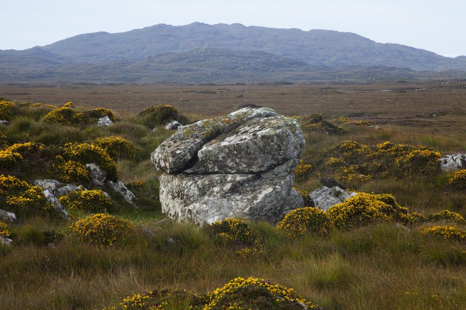 Mass-rock in CosmonaMass-rock · 1360 yd
 Long PointHeadland · 1.2 mi
 Site of Cloonoo CastleCastle, unclassified · 1.4 mi
 Raruddy Castle (in ruins)Castle, tower house · 1.7 mi
 Turoe StoneHeritage attraction · 4.2 mi
 Dartfield Horse MuseumHeritage attraction · 5.0 mi
 Scalpeen RockNamed rock · 5.1 mi