What is recorded here
Bivallate Rath in County Antrim stands as one of a paired set of ancient earthworks, marked by two opposing ditches rather than a single circular wall. That unusual shape suggests the pair faced each other across open ground, perhaps serving as rival homes, meeting places or ceremonial markers during the early Christian period. The completed protection recognises the site as a valuable survivor of human imagination, even when its exact purpose has faded from memory.
The official Northern Ireland record identifies this as BIVALLATE RATH - ONE OF RATH PAIR (c.f. 060:008). Recorded period: E.CHRIST.. Recorded protection: Scheduled. The official map point was placed at the centre of the recorded archaeological site from the source map reference.
The monument record does not grant public access. Check the route and ask the landowner before entering private land.
- What survives
- Recorded monument
Places near here
 TWO ENCLOSURES in BudoreTWO ENCLOSURES · 547 yd
 ENCLOSURE (CHART) in CarnaghlissENCLOSURE (CHART) · 1187 yd
 CHURCH: CHAPEL OF KILTRODAN (unlocated) in DundrodCHURCH: CHAPEL OF KILTRODAN (unlocated) · 1.7 mi
 DivisMountain / peak · 2.9 mi
 Slievenacloy Nature ReserveNature reserve · 3.3 mi
 CHURCH: CHURCH OF KENLES (unlocated) in Knockcairn (possible); Tullyrusk (possible)CHURCH: CHURCH OF KENLES (unlocated) · 3.6 mi
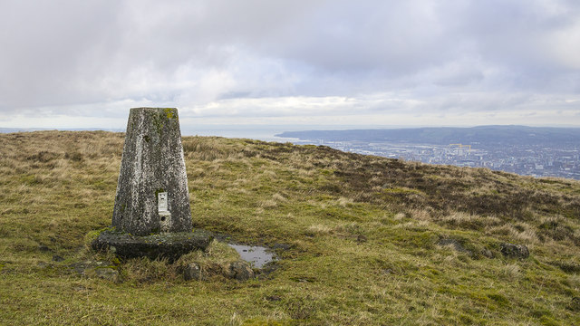 Black HillMountain / peak · 3.7 mi
 1971 Scottish soldiers' killingsmurder · 4.0 mi
 Battle at Springmartinbattle · 4.5 mi
 FORTIFIED HOUSE & EARTHWORK DEFENCES (unlocated) in Grange OF MalluskFORTIFIED HOUSE & EARTHWORK DEFENCES (unlocated) · 4.9 mi
 Possible bawn site in OldparkPossible bawn site · 5.0 mi
 Main StreetVisitor information · 5.3 mi