What is recorded here
Bivallate rath in County Antrim, recorded for the early Christian period and still scheduled, belongs to a conjoined group rather than a single proud ring. Its two curves suggest a place shaped by compromise: a boundary drawn around more than one household, claim or memory. The land may have swallowed the names of those who lived there, but the shape remains, holding the lost arrangement intact.
The official Northern Ireland record identifies this as BIVALLATE RATH (CONJOINED WITH ANT051:015 - PART OF RATH GROUP ANT051:015 & ANT051:017). Recorded period: E.CHRIST.. Recorded protection: Scheduled. The official map point was placed at the centre of the recorded archaeological site from the source map reference.
The monument record does not grant public access. Check the route and ask the landowner before entering private land.
- What survives
- Recorded monument
Places near here
 A.P. SITEA.P. SITE, large circular enclosure · 146 yd
 ENCLOSURE (unlocated) in BallypaladyENCLOSURE (unlocated) · 675 yd
 Patterson's Spade MillMill · 1.2 mi
 RUINED STRUCTURERUINED STRUCTURE, CHURCH? · 2.1 mi
 C17th CASTLE on MONASTIC SITE : ORDER of ST. JOHN OF JERUSALEM, UPTON CASTLE, UPTON MAUSOLEUM, HUGH DE LOGAN'S TOWN in TemplepatrickC17th CASTLE on MONASTIC SITE : ORDER of ST. JOHN OF JERUSALEM, UPTON CASTLE, UPTON MAUSOLEUM, HUGH DE LOGAN'S TOWN · 2.5 mi
 Castle UptonCastle · 2.6 mi
 Sentry Hill Historic HouseMuseum · 3.1 mi
 Carnmoney HillMountain / peak · 4.9 mi
 Bellevue Area of Special Scientific InterestCliff · 5.4 mi
 CavehillMountain / peak · 5.9 mi
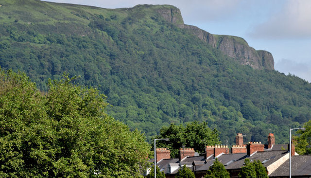 Cave HillCliff · 5.9 mi
 Cave Hill CaveCave · 5.9 mi