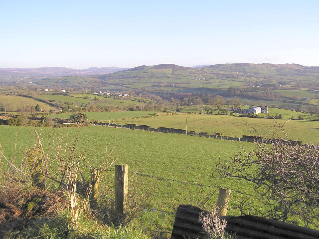
What is recorded here
Bessy Bell rises to approximately 550 meters and is part of the Sperrin Mountains, characterized by basaltic and andesitic volcanic rock formations from the Carboniferous period. The name may derive from a local legend or a personal name linked to early settlers, though specific folklore is not well documented; its significance lies in its contribution to the regional topography and geological history of County Tyrone.
Places near here
 HOLY WELL: TOBERNEILL in BeraghHOLY WELL: TOBERNEILL · 526 yd
 A.P. SITEA.P. SITE, circular enclosure · 1059 yd
 CASTLE & BAILEY: HARRY AVERY'S CASTLE in Upper OR New DeerparkCASTLE & BAILEY: HARRY AVERY'S CASTLE · 1.9 mi
 CastleRuins · 1.9 mi
 Grange WoodWood · 2.2 mi
 Newtownstewart Presbyterian ChurchChurch · 2.2 mi
 Moyle IslandIsland · 2.3 mi
 St Eugene's Church of Ireland ChurchChurch · 2.3 mi
 Cauldwell's FieldForest · 2.4 mi
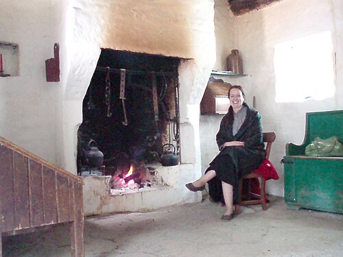 Ulster American Folk ParkMuseum · 3.0 mi
 Mary GrayMountain / peak · 3.2 mi
 MullaghcroyMountain / peak · 3.8 mi
Other information
Photo: Credit not shown in the picture search · Rights wording not checked; contact us if this picture should be removed