What is recorded here
Shrule is a battlefield in County Mayo, Ireland, though no visible boundary or marker remains to show where the fighting happened. The land has absorbed the event, returning grass, soil and ordinary life above the violence. What was lost is no longer a line on a map but a absence inside the field, waiting for someone to walk it and imagine the noise it once held.
The Archaeological Survey of Ireland (ASI) is in the process of providing information on all monuments on The Historic Environment Viewer (HEV). Currently the information for this record has not been uploaded. To access available information for research purposes please make an appointment in advance with the Archive Unit (open Fridays 10.00 am – 5.00 pm), Department of Housing, Local Government and Heritage, The Custom House, Dublin 1 D01W6XO or email NMarchive@housing.gov.ie.
The monument record does not grant public access. Check the route and ask the landowner before entering private land.
- What survives
- Recorded monument
Places near here
 Enclosure in ShruleEnclosure · 134 yd
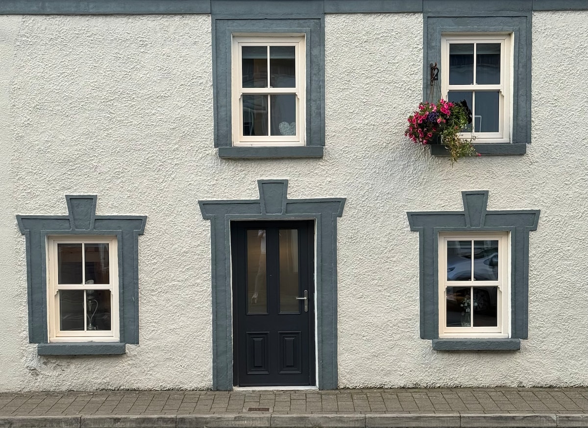 IndicatedEnclosure · 166 yd
 Church in ruinsChurch · 216 yd
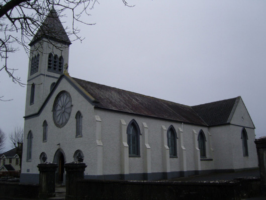 Saint Joseph's Catholic Churchchurch/chapel · 241 yd
 Shrule CastleCastle · 434 yd
 Shrule Castle in ruinsCastle, hall-house · 438 yd
 Cregg PlantationForest · 1595 yd
 Pesooge PlantationForest · 1.2 mi
 Ross Errilly FriaryHeritage attraction · 3.4 mi
 Otter IslandIslet · 6.4 mi
 Inis Mhic an TrírIsland · 6.7 mi
 School of FalconryHeritage attraction · 8.4 mi