What is recorded here
Drumneechy and Gortaclare held a battle in 1641, though the names of the vanquished and victors have dissolved into soil. The official record preserves only the year and the violence, leaving the human story behind a blank wall. Men bled on that ground during the C17TH POST-MED period, their fear and fury scattered by time. The earth remembers what testimony forgot, keeping the shape of footsteps and the weight of dropped weapons long after every voice went silent.
The official Northern Ireland record identifies this as BATTLE SITE, 1641. Recorded period: C17TH; POST-MED. The official map point was placed at the centre of the recorded archaeological site from the source map reference.
The monument record does not grant public access. Check the route and ask the landowner before entering private land.
- What survives
- Recorded monument
Places near here
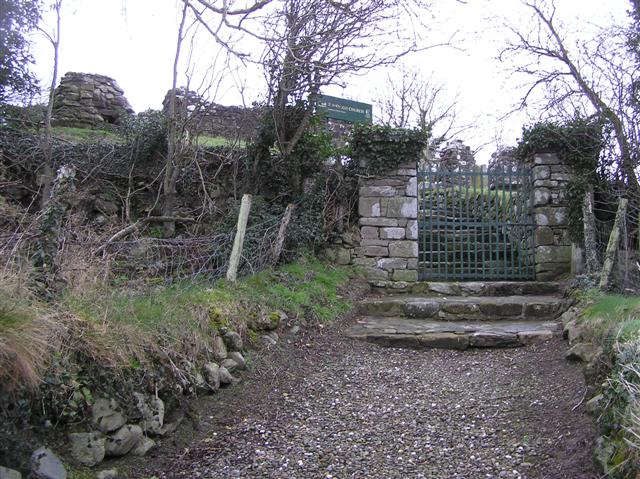 ENCLOSURE in BovevaghENCLOSURE · 1613 yd
 ENCLOSURE (O.S. memoir site, unlocated) in MulkeeraghENCLOSURE (O.S. memoir site, unlocated) · 1671 yd
 Bovevagh Presbyterian ChurchChurch · 1.1 mi
 NUNNERY, CHAPEL & CROSS-CARVED STONE in GortgarnNUNNERY, CHAPEL & CROSS-CARVED STONE · 1.5 mi
 BenbradaghMountain / peak · 2.4 mi
 DUNGIVEN CASTLE (PART OF WALLS) in DungivenDUNGIVEN CASTLE (PART OF WALLS) · 3.0 mi
 Dungiven CastleCastle · 3.0 mi
 Donald's HillMountain / peak · 3.7 mi
 Legananam PotCliff · 3.8 mi
 Roe Valley Country ParkWood · 3.8 mi
 Green Lane MuseumMuseum · 4.0 mi
 Gortnamoyagh ForestForest · 4.2 mi