What is recorded here
No visible scar remains in Church Quarter, yet the land may still hold the shape of a 1551 clash. The date points to a violent moment when weapons, fear and flight crossed in County Antrim. The exact ground has been lost, but the region remembers the kind of event that can change a place before anyone writes it down.
The official Northern Ireland record identifies this as BATTLE SITE; 1551 (unlocated). Recorded period: C16TH; LATE-MED. The official map point was placed at the centre of the recorded archaeological site from the source map reference.
The monument record does not grant public access. Check the route and ask the landowner before entering private land.
- What survives
- Recorded monument
Places near here
 Boathouse Visitor Centre & MuseumMuseum · 75 yd
 Boat HouseBoat House · 77 yd
 Kelp HouseRuins · 450 yd
 A.P. SITE: ENCLOSURE in CraigmacaganA.P. SITE: ENCLOSURE · 692 yd
 Enclosure in CraigmacaganEnclosure · 1042 yd
 Brackens CaveCave · 1190 yd
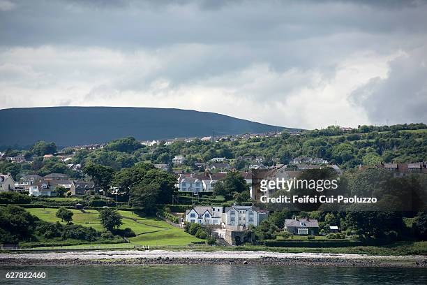 CarrickagileHeadland · 1244 yd
 Ballycarry Trail, RathlinWalking route · 1484 yd
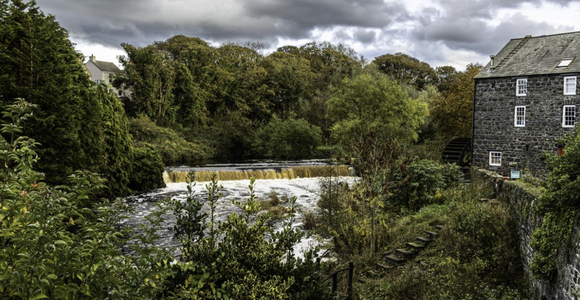 RuenascarriveHeadland · 1503 yd
 Rathlin CastleRuins · 1721 yd
 FORTIFICATION: BRUCE'S CASTLE in BallycarryFORTIFICATION: BRUCE'S CASTLE · 1731 yd
 Rathlin IslandIsland · 1.4 mi