What is recorded here
Bat's Castle is shown as a mountain / peak on the public map of Somerset. The saved point is the map point or the centre of its mapped shape.
This does not grant access. Check current paths, opening conditions and ownership before entering.
Places near here
 SettlementArchaeological place · 792 yd
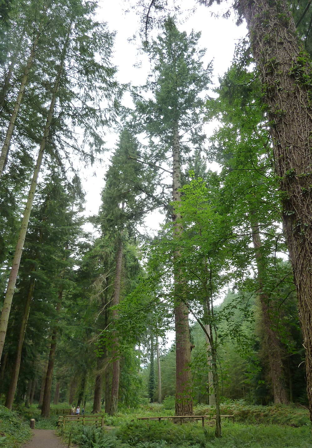 Tallest tree in EnglandDouglas Fir · 936 yd
 BonnitonListed building · 1056 yd
.jpg?width=1280) Gallox BridgeListed building · 1225 yd
Gallox BridgeListed building · 1225 yd Dunster : WaterfallWaterfall · 1387 yd
 Sculpture in the forestPublic sculpture · 1467 yd
 Wooden sculpture outside tearooms in DunsterPublic sculpture · 1540 yd
 Monument to the LuttrellsMonument or public art · 1708 yd
 Seal woodForest or wood · 1.0 mi
 Dunster Castle and Yarn MarketCastle, fort or tower · 1.1 mi
 Exmoor National Park CentreVisitor information · 1.1 mi
 Black HillMountain / peak · 1.6 mi