
What is recorded here
Star-shaped earthworks guarded Thomond Gate around 1610, forcing every bridge approach into their angle before reaching the walled city. They likely changed through the seventeenth-century sieges, and modern lanes may still follow lines of that buried fortification. Test trenches at the bridge end found only river gravel and boulder clay, leaving the exact shape of the bastion to imagine beneath the streets.
Speed's map of Munster c. 1610 shows a projecting fortification protecting the W side of Thomond Gate which gave access to the medieval walled town (LI005-017010-) of Limerick via Thomond Bridge (LI005-017002-). Test excavations carried out on site of extramural gate [Thomond Gate] at the western end of Thomond Bridge by Edmond O'Donovan, Margaret Gowen & Co. Ltd under licence no. 99E0407, the results of which were summarised as following; 'The medieval defences of the city included an extramural gate at the western end of Thomond Bridge, hence the etymology of the placename 'Thomond Gate'. The gate was on the bridge and has been illustrated on early maps of the town, including Hardiman's map, dated 1590. Speed's map, dated 1610, illustrates a star-shaped fort outside Thomond Gate. These post-medieval earthen fortifications are further illustrated on Greenville's map, c. 1640, and are likely to have been developed and altered to withstand the various 17th-century sieges of the city. The modern streetscape (Mass Lane, Castleview Avenue and Halloran's Lane) around Thomond Gate may reflect the line of elements of these earthworks. However, little consistency exists in the cartographic sources on the layout and exact location of the earthen defences around the Thomond Gate area.
Test excavation was carried out at Thomond Gate. Five test-trenches, 4-6m long, were excavated on the location of manhole shafts within the zone of archaeological potential at the western end of Thomond Bridge. River gravels or natural boulder clay was encountered in all of the trenches; no archaeological indicators were found above these deposits.
The assessment was limited to the construction corridor of the Main Drainage Scheme and as a result could not shed any further light on the nature of the post-medieval earthwork defences in the Thomond Gate area. It is proposed to monitor all construction work in the zone of archaeological potential' (www.excavations.ie).
Compiled by: Caimin O'Brien
Date of upload: 20 December 2019
A bastioned fort in Deaneryland, Limerick City, likely dates to the early medieval period and may have been part of the defensive system associated with Thomond Gate and Thomond Bridge. It is sometimes linked locally to fairy lore, though specific traditions are not well documented.
The monument record does not grant public access. Check the route and ask the landowner before entering private land.
- What survives
- Recorded monument
Places near here
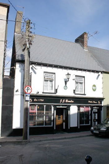 J.J. Bowlespublic house · 25 yd
 Saint Munchin's Catholic Churchchurch/chapel · 57 yd
 The Treaty StoneMemorial · 82 yd
 Town WallTown defences · 181 yd
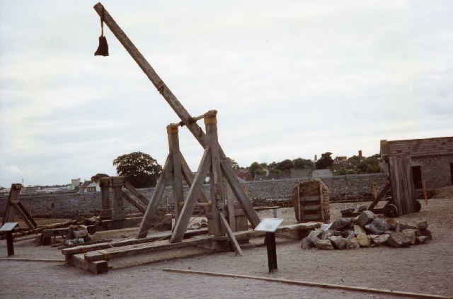 Castle BarracksCastle, Anglo-Norman masonry castle · 237 yd
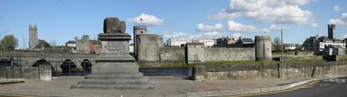 King John's CastleHeritage attraction · 240 yd
 Castle Blake or Farranshone (Site of)Castle, unclassified · 245 yd
 Anthony Foley MemorialMemorial · 265 yd
 Curragower FallsWaterfall · 284 yd
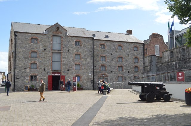 King John's Visitor's CentreMuseum · 293 yd
 Heritage FountainMonument · 332 yd
 King's IslandIsland · 417 yd
Other information
Photo: Credit not shown in the picture search · Rights wording not checked; contact us if this picture should be removed