
What is recorded here
Bastion 14 is shown as a archaeological place on the public map of City of London. The saved point is the map point or the centre of its mapped shape.
This does not grant access. Check current paths, opening conditions and ownership before entering.
Places near here
 London Wall: the west gate of Cripplegate fort and a section of Roman wall in London Wall underground car park, adjacent to Noble StreetScheduled monument · 33 yd
 William ShakespeareMemorial · 70 yd
 Aldersgate FlameMemorial · 76 yd
 Ironmongers' Hall, excluding Ferroners' HouseListed building · 89 yd
 London Wall: section of Roman and medieval wall and bastions, west and north of Monkwell SquareScheduled monument · 90 yd
 Statue of Shakespeare in AldermanburyMonument or public art · 149 yd
 Church of St Anne and St AgnesListed building · 172 yd
 Postman's ParkVisitor information · 177 yd
 Sculpture on London Wall walkwayPublic sculpture · 186 yd
 Artificial waterfall in the Barbican Centre courtyardWaterfall · 301 yd
 Waterfall, BarbicanWaterfall · 357 yd
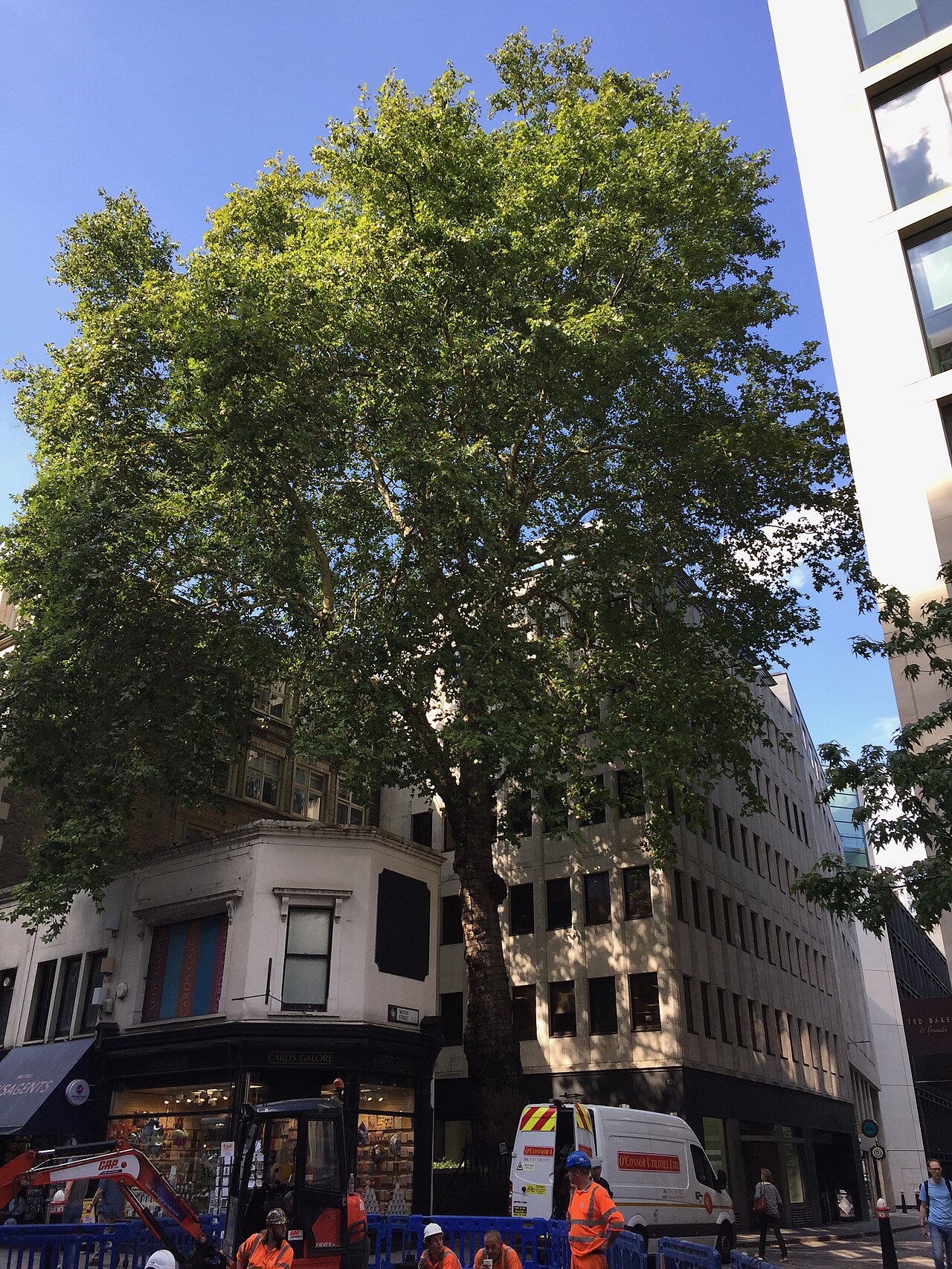 Wood Street plane treeLondon Plane · 409 yd
Other information
Photo: Jim Osley · CC BY-SA 2.0