What is recorded here
Barrow is an unclassified ring-barrow in wet pasture near Ballynagreanagh, County Limerick, still faint enough to disappear beneath grass and rain. A ringfort sits 170m to the northwest, suggesting the land once carried more than a single burial or boundary marker. The barrow may have marked a dead person, a family line or a claim on the earth, yet no name has survived to tell which.
In wet pasture 60m E of the townland boundary with Ballynagreanagh. Ringfort (LI033-035----) lies 170m to NW. Not depicted on OSi historic maps. Identified by Bruff aerial photographic survey in 1986 (Bruff 94; AP 4/3616) as a ring-barrow. Faint circular-shaped cropmark visible on OSi orthophoto taken between 2005-12 and on Google Earth orthoimage dated 18/11/2018.
See attached photocopy of Bruff aerial image labelled Bruff 94 and Google Earth orthoimages
Compiled by: Martin Fitzpatrick
Date of upload: 7 April 2021
The monument record does not grant public access. Check the route and ask the landowner before entering private land.
- What survives
- Recorded monument
Places near here
 BarrowBarrow, unclassified · 309 yd
 Enclosure in KnockaleganEnclosure · 634 yd
 Templebredon Church (in ruins)Church · 822 yd
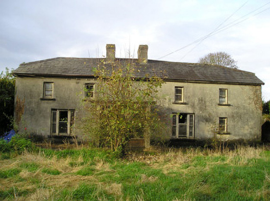 Derk Cottagehouse · 1747 yd
 Site of Ballyneety CastleCastle, unclassified · 1.2 mi
 Carrickittle RockCastle, unclassified · 1.2 mi
 St. Patrick's WellSpring · 2.2 mi
 Kilteely HillMountain / peak · 2.2 mi
 KnockseefinMountain / peak · 3.1 mi
 Flat cemetery in Knockainy WestFlat cemetery · 5.4 mi
 St Patrick's WellSpring · 6.4 mi
 Ballinvreena LoopVisitor information · 9.4 mi