What is recorded here
Barrow is a low mound in County Kerry, Ireland, measuring 17m across and touching an older enclosure. People may have built it against the slope, leaving a shallow ditch that still marks its eastern edge. The land has kept that shape through centuries of rain, foot traffic and forgetting.
'The possible barrow (KE039-202002-) abuts the enclosure [KE039-202001-] to the west – north-west and while it is built back against the natural slope of the land, there are clear traces of a low mound 17m in diameter. Due to the slope of the ground the mound is 1.25m high to the east but, on average, 0.48m high elsewhere. The probable ditch is only clearly visible on the eastern side of the mound, however, it does appear to run out under the field boundary and the existing N22. The ditch is on average 1.45m wide at base and 0.22m below level of the existing ground surface. Interestingly the ditch would also appear to be impinged on by the embanked enclosure.'
Description from ‘The Prehistoric Settlement of the Lee Valley, Tralee, Co. Kerry; A Landscape Perspective’ by Michael Connolly. PhD Thesis UCC 2008
Date of upload: 25 June 2012
The monument record does not grant public access. Check the route and ask the landowner before entering private land.
- What survives
- Recorded monument
Places near here
 Enclosure in Gortatlea (trughanacmy By.)Enclosure · 428 yd
 Burnt spread in Gortatlea (trughanacmy By.)Burnt spread · 622 yd
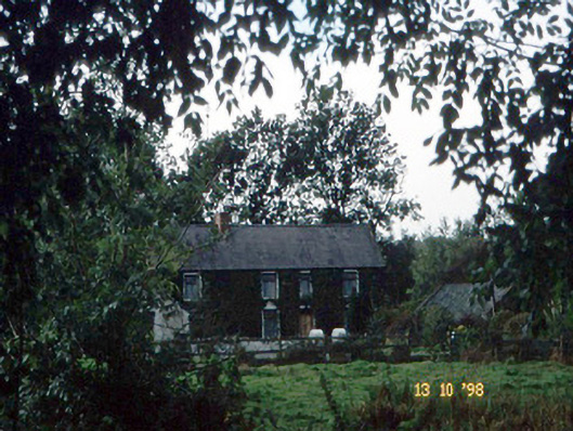 farm housefarm house · 1474 yd
 Bealagrellagh CastleCastle · 1.0 mi
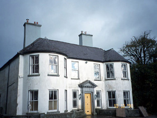 Arabela Househouse · 1.2 mi
 Site of McElligotts CastleCastle, unclassified · 1.3 mi
 Common AlderCommon Alder · 2.5 mi
 PoulatouirtCave · 2.6 mi
 Poulclashcannon (blocked)Cave · 2.8 mi
 Ballygamboon Forest Recreation AreaWood · 3.8 mi
 Scotia's GraveArchaeological place · 4.6 mi
 Civil War MemorialMemorial · 4.7 mi