What is recorded here
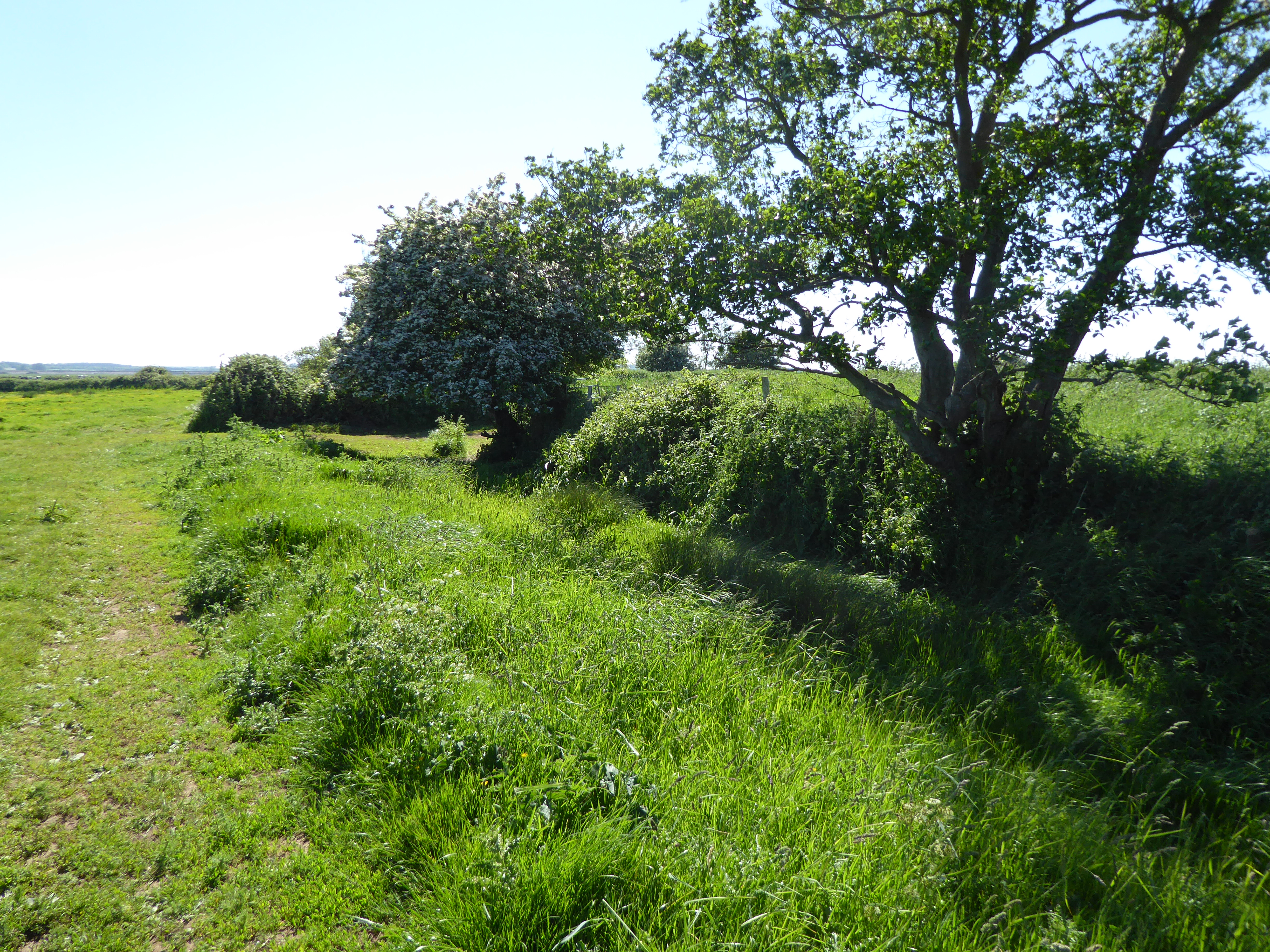
In reclaimed pasture 120m NW of the townland boundary with Ballyania. Not depicted on 1840 ed. OSi 6-inch map. Possible enclosure (LI039-136----) lies 75m to E. Monument (overall ext. diam. 1c. 00m) shown on the 1897 ed. OSi 25-inch map as a small depression in the centre of a platform (diam. c. 20m) defined by a scarp with wide internal waterfilled fosse (Wth c. 24m), bank (Wth c. 5m) and outer fosse (Wth c. 7m). Monument is transected at W by a 19th century drainage channel running NE-SW which is depicted on the 1897 ed. OSi 25-inch map. Outline of monument on poorly drained land is clearly visible on OSi orthophoto taken between 2005-12. and on Google Earth orthoimages
See attached Google Earth orthoimages
Compiled by: Martin Fitzpatrick
Date of upload: April 30 2021
See attached ASI aerial photograph ASIAP – 372/6, 8, 9. 10 on 05/01/2003.
The monument record does not grant public access. Check the route and ask the landowner before entering private land.
- What survives
- Recorded monument
Places near here
 BarrowBarrow, ditch barrow · 411 yd
 post boxpost box · 956 yd
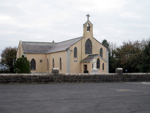 Catholic Church of the Holy Trinitychurch/chapel · 1210 yd
 Grave YardGraveyard · 1286 yd
 Ballygrennan Castle (in ruins)Castle, tower house · 1.9 mi
 Site of Bulgaden HallCastle, unclassified · 1.9 mi
 King John's CastleCastle · 2.9 mi
 KnockainyMountain / peak · 4.4 mi
 St Bridget's WellSpring · 4.6 mi
 Flat cemetery in Knockainy WestFlat cemetery · 5.0 mi
 Lough GurVisitor information · 5.0 mi
 Ballinvreena LoopVisitor information · 6.5 mi