What is recorded here
At the foot of a low hill in flat farmland. This subcircular ring-barrow (25.5m E-W; 22.7m N-S), in fair condition, is defined by an oval central mound (11.3m E-W; H 0.3-0.65m) encircled by a fosse and external bank. A hollow is visible just off-centre in the mound. The external face of the bank has been defaced as a result of the construction of a later field boundary against it. The monument is overgrown with brushwood.
Compiled by: Galway Archaeological Survey, UCG
Date of upload: 16 August 2019
A ring-barrow, likely dating to the Early Bronze Age, characterized by a central mound surrounded by a fosse and external bank. Such monuments are significant as they represent early funerary and ritual practices associated with burial and territorial markers in prehistoric Ireland.
The monument record does not grant public access. Check the route and ask the landowner before entering private land.
- What survives
- Recorded monument
Places near here
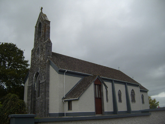 Saint Colman's Catholic Churchchurch/chapel · 957 yd
 Castle (in ruins)Bawn · 978 yd
 Monaster Munter Heyne or OHeynes Monastery (inReligious house, Augustinian canons · 1029 yd
 Kilmacduagh Monastic SiteVisitor information · 1057 yd
 Shanclogh Glebe House (in ruins)Castle, hall-house · 1084 yd
 Kilmacduagh MonasteryHeritage attraction · 1187 yd
 Templemore or Cathedral (in ruins)Cathedral · 1199 yd
 Site of Macduaghs ChapelChapel · 1209 yd
 Coole-Garryland Nature ReserveNature reserve · 2.4 mi
 Coole ParkWood · 3.0 mi
 Swan IslandIsland · 4.2 mi
 Castle IslandIsland · 4.3 mi