What is recorded here
Situated on a break in an E-facing slope in upland terrain, under pasture. Extensive views in all directions except upslope to SW. A circular area (diam. 11.5m N-S; 11.4m E-W) consisting of a central mound (diam. 4.6m N-S; 4.7m E-W; H 0.23m) enclosed by a water-logged fosse (Wth 1.6m; D 0.26m) and well-preserved outer bank (Wth 1.9m; H 0.3m), partially denuded in the SE quadrant. There are three stones embedded in the N half of the central mound which appear to be set on edge, possibly indicating the presence of a cist (TN039-038002).
Compiled by: Caimin O'Brien.
Date of upload: 22 September 2008
The monument record does not grant public access. Check the route and ask the landowner before entering private land.
- What survives
- Recorded monument
Places near here
 Wedge tomb in Knockcurraghbola CommonsWedge tomb · 1727 yd
 Site of Cashlauncreen CastleCastle, tower house · 1.1 mi
 Templeougher (site of)Church · 1.4 mi
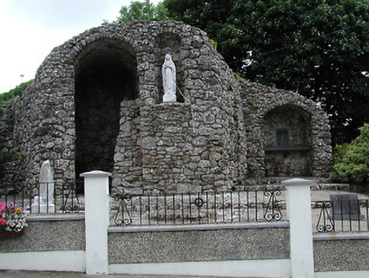 shrine/oratory/grottoshrine/oratory/grotto · 1.4 mi
 Catholic Church of the Sacred Heartchurch/chapel · 1.4 mi
 Moher HillMountain / peak · 2.0 mi
 KnockmaroeMountain / peak · 2.0 mi
 Drumbane CastleCastle · 4.4 mi
 Drum WoodWood · 5.4 mi
 Killavalla WoodForest · 7.0 mi
 Silvermines ViewpointViewpoint · 9.5 mi
 Our Lady Assumed into HeavenMemorial · 10 mi