What is recorded here
On top of a flat ridge with good views to the E and SE, in pasture. Indicated on the 1st (1839) ed. OS 6-inch map as a circular enclosure (diam. c. 16m) but not shown on the 1901 revision. A ring-barrow (overall diam. 19.5m) consisting of a flat central area (diam. c. 6.5m), enclosed by a fosse (top Wth 3.8m; basal Wth 1.6m; D 0.5m) and outer bank (Wth 3m; int. H 0.9m; ext. H 0.5m). There is a causewayed entrance in the SE sector (Wth c. 2m over fosse; c. 3m gap in bank). There monument is heavily overgrown with furze bushes. Compiled by: Jean Farrelly Date of upload: 4 July 2022
A Neolithic or Early Bronze Age ring-barrow; its original structure may have been modified or misinterpreted in later maps. Its location on a prominent ridge suggests it was a significant ceremonial or funerary monument with visual connections to the surrounding landscape.
The monument record does not grant public access. Check the route and ask the landowner before entering private land.
- What survives
- Recorded monument
Places near here
 Newchurch Ringfort (rath)Archaeological place · 382 yd
 Ritual siteRitual site, pond · 1277 yd
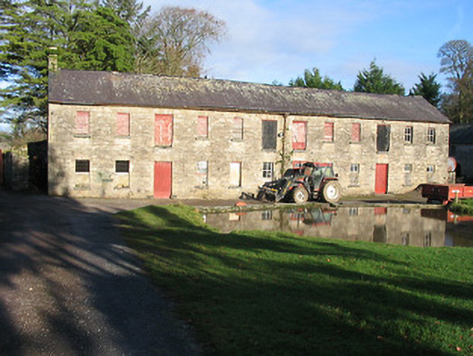 Rossenarra Housefarmyard complex · 1.0 mi
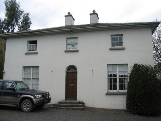 rectory/glebe/vicarage/curate's houserectory/glebe/vicarage/curate's house · 1.1 mi
 Castle (in Ruins)Castle, tower house · 1.3 mi
 CastleCastle, unclassified · 1.8 mi
 Castlemorris WoodForest · 1.9 mi
 Castlemorris Pheasant LoopWalking route · 1.9 mi
 Brawder's Family BlacksmithHeritage attraction · 2.6 mi
 Kilmacoliver/ Tullahought School 1876-1973Visitor information · 2.7 mi
 Irish Republic 1916-2016Memorial · 2.9 mi
 Woodland LoopWalking route · 3.1 mi