What is recorded here
On the gentle SE-facing slope of a E-W ridge in undulating pastureland with wide views but overlooked by a rise c. 21m to the W, on which there is another ring-barrow (CL008-038001-). Hachured on the 1897 OS 25-inch plan and 1920 ed. of the OS 6-inch map. Indicated as a barrow on Robinson's (1977) map. Listed as 'Enclosure' in the RMP (1996). This ring-barrow comprises a slightly domed steep-sided almost circular earthen mound (base dims. 13.6m N-S; 13.2m E-W; diam. at top 11.7m; H 0.3-0.9m) enclosed by a flat-based fosse (Wth at base 3.7-4.5m), which is partly filled with rushes and furze, and a steep-sided outer bank (Wth at base 4.7-7.7m; Wth at top 1.1-1.5m; int. H 0.55-1.7m; ext. H 0-0.45m) that is round-topped at W and E, and flat-topped at N and S. The bank is overgrown with furze from NNE-E, and a later field wall overlies its outer edge from NNE-SE.
The following images have been uploaded:
CL008-038002-_01.jpg View from NW
CL008-028002-_02.jpg View from SSE
Compiled by: Olive Alcock and Conn Herriott
Date of upload: 26 September 2022
A Neolithic ring-barrow; part of a broader funerary landscape. Its location suggests ritual or territorial significance in the Neolithic period.
The monument record does not grant public access. Check the route and ask the landowner before entering private land.
- What survives
- Recorded monument
Places near here
 Knockaskeheen CaherFairy fort / stone ringfort · 632 yd
 Spectacle Bridgebridge · 751 yd
 IndicatedFairy fort / earthen ringfort · 1447 yd
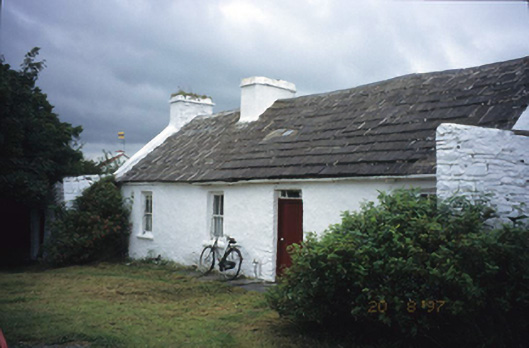 farm housefarm house · 1637 yd
 St. Catherine's OneCave · 1.3 mi
 Doolin Road SinkCave · 1.4 mi
 Doolin Cave Visitor CentreHeritage attraction · 1.6 mi
 Ballinalacken CastleCastle · 1.6 mi
 CastleCastle, unclassified · 2.1 mi
 Ballyteigue Nature ReserveNature reserve · 2.1 mi
 The BurrenHeritage attraction · 3.1 mi
 OughtdarraCliff · 3.2 mi