What is recorded here
Just below summit of hill on NE facing slope in Slieveardagh hills with panoramic views from w through N to E. Impressive well preserved ring-barrow consisting of a circular mound (base diam. 15m N-S; 14m E-W; top diam. 11.5m N-S; 9m E-W; H 0.6m; ext. diam. 41m N-S) enclosed by a wide flat-bottomed inner fosse (base Wth 7m ; top Wth 8m; ext. D 1-1.4m) and wide flat-topped external bank (base Wth 6m; top Wth 1.7m ext. H 0.4-0.2m). The interior is sunken below the external ground surface giving the interior an amphitheatre like experience with the higher enclosing external bank particularly on the upslope, on the downslope the mound is level with the external ground. Several grass-covered stones protruding for the surface of the top of the mound may be the remains of cist graves. No other features visible. Located on grassland with only a few thorn bushes growing on top of bank at W and a lone thorn bush on the mound other wise the monument is very well preserved. Agricultural land being used as pasture with cattle grazing in the adjoining fields. Enclosing bank intersected by a field boundary at NE as depicted on latest ed. OS 6-inch map.
Compiled by: Jean Farrelly
Date of upload: 26 August 2011
Ring-barrow, likely dating to the Early Bronze Age. This type of burial monument is significant as it reflects early communal burial practices and social organisation in the Slieveardagh region.
The monument record does not grant public access. Check the route and ask the landowner before entering private land.
- What survives
- Recorded monument
Places near here
 Grange Castle (in ruins)Castle, tower house · 530 yd
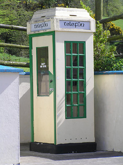 telephone boxtelephone box · 545 yd
 icehouseicehouse · 871 yd
 Deerpark WoodWood · 1319 yd
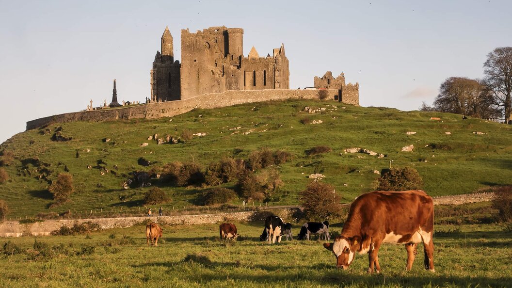 IndicatedEnclosure · 1504 yd
 Rapefield WoodForest · 1533 yd
 Enclosure in KilcoolyabbeyEnclosure · 1.3 mi
 Bregaun HillMountain / peak · 1.4 mi
 Kilcooly AbbeyHeritage attraction · 1.5 mi
 Clonamicklon Castle (in ruins)Bawn · 1.5 mi
 Warhouse HillMountain / peak · 2.7 mi
 DelaneyMemorial · 6.6 mi