What is recorded here
Barrow is a barrow (ring-barrow) in Kilfeakle Churchquarter, County Tipperary, Ireland. It occupies a circular area 4.75 metres north to south and 4.75 metres east to west, bounded by a 2.25-metre-wide, 0.15-metre-deep ditch and a 3.85-metre-wide outer bank rising 0.15 metres on both sides. The barrow sits inside the northern part of a medieval deserted settlement, where low banks form a small square boundary around it. Another ring-barrow lies about 150 metres to the east-southeast, suggesting the later settlement respected these older monuments.
In good pasture, within N-area of medieval deserted settlement (TS059-127----). Monument identified during ASI fieldwork. A circular area (dims. 4.75m N-S; 4.75m E-W) defined by fosse (Wth 2.25m; D 0.15m) and outer bank (Wth 3.85m; int. H 0.15m; ext. H 0.15m). This is cordoned off within a small, square area defined by low banks of the deserted settlement. Another ring-barrow (TS059-146----) is located c. 150m to the ESE. It would appear that occupants of the later settlement respected these monuments.
Compiled by: Jean Farrelly
Date of upload: 24 October 2013
A Neolithic ring-barrow; its circular fosse and outer bank are typical of funerary monuments from the Neolithic period. It is associated with a nearby medieval deserted settlement, indicating long-term use of the landscape for human activity.
The monument record does not grant public access. Check the route and ask the landowner before entering private land.
- What survives
- Recorded monument
Places near here
 Site of Kilfeakle ChurchChurch · 198 yd
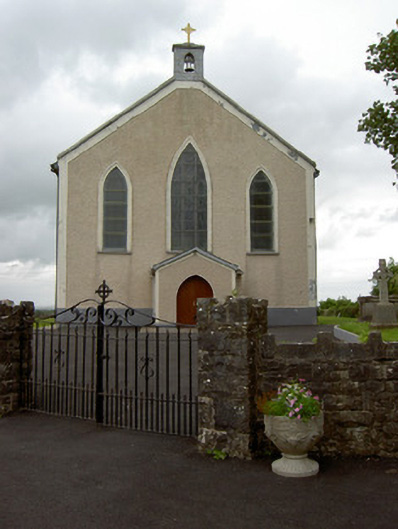 Saint Patrick's Catholic Churchchurch/chapel · 249 yd
 MoatCastle, motte and bailey · 354 yd
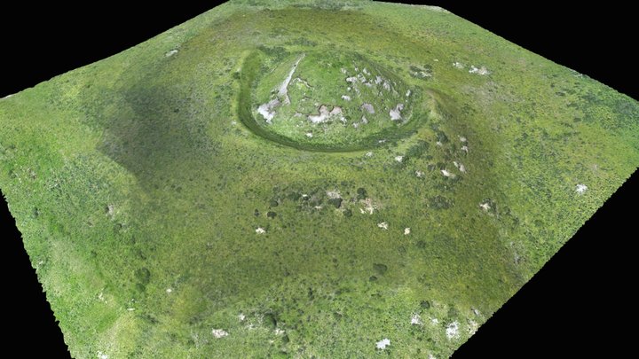 Enclosure in Moatquarter (kilfeakle Par.)Enclosure · 545 yd
 Kilfeakle Castle (in ruins)Castle, tower house · 1099 yd
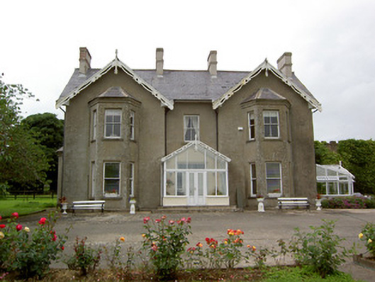 Grantstown Hallcountry house · 1489 yd
 European ashEuropean ash · 1.7 mi
 I.R.A. 3rd. Tipperary Brigade MemorialMemorial · 3.6 mi
 Bansha ForestForest · 3.9 mi
 It's a long way to TippereryHeritage attraction · 4.3 mi
 The Maid of ErinMemorial · 4.4 mi
 Soloheadbeg Ambushambush · 4.6 mi