What is recorded here
At W edge of Heath, in a garden. A subcircular ring-barrow (max. ext. diam. 25m) defined by a slightly dished platform (diam. 10m E-W, H 0.4-0.8m), a flat bottomed fosse (base Wth 0.8-1.2m) and an outer bank (Wth 0.5-0.6m; ext. h 0.4m) which is planted with pine trees and clipped by a wire fence from NNW-NNE. Cattle gap at SW. A drain from a sewage tank at SE runs into fosse at N.
The above description is derived from the published 'Archaeological Inventory of County Laois' (Dublin Stationery Office, 1995) compiled by P. David Sweetman, Olive Alcock and Bernie Moran. In certain instances the entries have been revised and updated in the light of recent research.
Date of upload: 17 December 2007
A Neolithic ring-barrow, dating to approximately 3000–2500 BCE. It is significant as a rare example of a complex funerary monument, indicating early social organisation and ritual practices in the region.
The monument record does not grant public access. Check the route and ask the landowner before entering private land.
- What survives
- Recorded monument
Places near here
 Grave Yd.Chapel · 314 yd
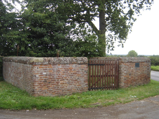 Enclosure in Greatheath (maryborough East By.)Enclosure · 633 yd
 RathshaneFairy fort / earthen ringfort · 986 yd
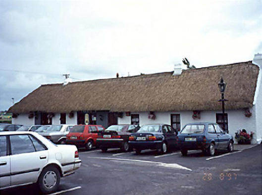 farm housefarm house · 1121 yd
 Coolbanagher Castle (ruins)Castle · 1.3 mi
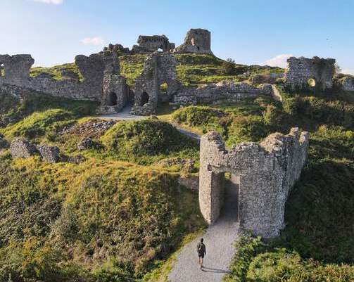 Shaen Castle (in Ruins)Castle, tower house · 1.5 mi
 Rock of DunamaseCastle · 2.0 mi
 Rock of Dunamase InformationVisitor information · 2.1 mi
 Burial Ridge of MaryboroughMemorial · 3.3 mi
 Giant SequoiaGiant Sequoia · 3.4 mi
 European YewEuropean Yew · 3.4 mi
 Emo CourtHeritage attraction · 3.5 mi