What is recorded here
On level ground beside an ESB pylon. A ring-barrow (max. diam. 15.5m) defined by a low circular mound (diam. 7m; H 0.3-0.4m) surrounded by a flat-bottomed fosse (Wth 1m; ext. D 0.5-0.7m) which is infilled with cleared vegetation from SSW-NNE. No outer bank.
The above description is derived from the published 'Archaeological Inventory of County Laois' (Dublin Stationery Office, 1995) compiled by P. David Sweetman, Olive Alcock and Bernie Moran. In certain instances the entries have been revised and updated in the light of recent research.
Date of upload: 17 December 2007
A Neolithic ring-barrow, c. 2500–2000 BCE, representing an early form of burial monument associated with collective or elite interment. Its construction and surrounding fosse indicate ritual significance and social organisation in the Neolithic period.
The monument record does not grant public access. Check the route and ask the landowner before entering private land.
- What survives
- Recorded monument
Places near here
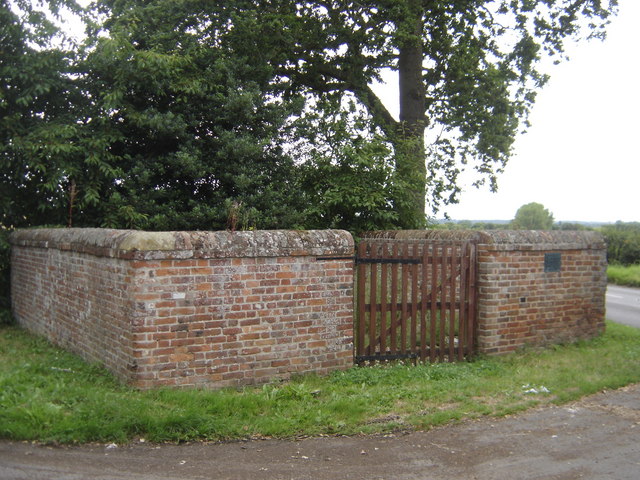 Enclosure in Greatheath (maryborough East By.)Enclosure · 378 yd
 RathshaneFairy fort / earthen ringfort · 511 yd
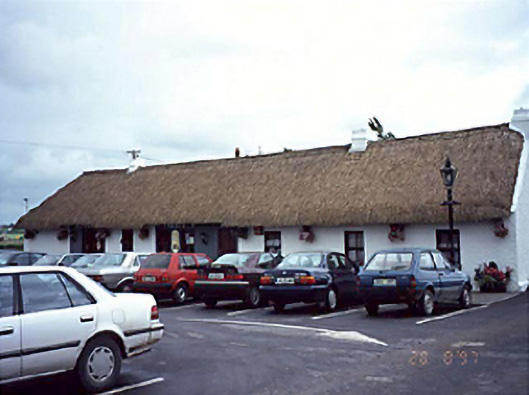 farm housefarm house · 616 yd
 Grave Yd.Chapel · 801 yd
 Coolbanagher Castle (ruins)Castle · 1.1 mi
 Morett Castle (in ruins)House, fortified house · 1.5 mi
 Pedunculate OakPedunculate Oak · 1.9 mi
 Rock of DunamaseCastle · 2.2 mi
 Rock of Dunamase InformationVisitor information · 2.3 mi
 Giant SequoiaGiant Sequoia · 3.1 mi
 Emo CourtHeritage attraction · 3.2 mi
 Burial Ridge of MaryboroughMemorial · 3.6 mi