What is recorded here
On a low ridge in flat pastureland. This ring-barrow (diam. 10.6m) was noted following aerial reconnaissance by Markus Casey (SMR file). On inspection in February 1992, it was fairly well preserved and was defined by a flat-topped circular mound (diam. 3.8m; H 0.3-0.4m) encircled by a fosse (Wth 1.5-1.8m) and external bank (Wth 1.5-2m; int. H 0.2m; ext. H 0.3m). A possible entrance gap (Wth 2.1m), with traces of a causeway, was visible at NE. Some field-clearance material, consisting of large loosely placed boulders, lay to its S. Aerial imagery (see OSi Ortho_ITM and digitalglobe images) indicates that this area was subsequently developed as a large quarry and the ring-barrow appears to have been levelled.
Compiled by: Olive Alcock
Date of upload: 7th April 2022
A Neolithic ring-barrow; significant as a rare surviving example of early funerary monument in the Glennascaul area.
The monument record does not grant public access. Check the route and ask the landowner before entering private land.
- What survives
- Recorded monument
Places near here
 Site of Castle ParkanassaCastle, unclassified · 1322 yd
 IndicatedFairy fort / stone ringfort · 1565 yd
 Mountvernon CottageHouse, 18th/19th century · 1.4 mi
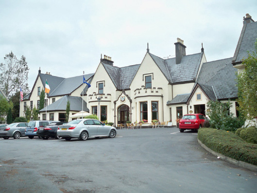 Oranmore Lodgehouse · 1.4 mi
 Enclosure in An LaigheachánEnclosure · 1.6 mi
 Kiltullagh Castle (in ruins)Castle, tower house · 1.8 mi
 Aunteen WoodsWood · 2.9 mi
 Uncleen WoodsWood · 3.1 mi
 Leadmine HillMountain / peak · 3.8 mi
 Royal Tara Visitor CentreHeritage attraction · 3.9 mi
 Cooper's CaveCave · 4.0 mi
 Rabbit IslandIslet · 4.1 mi