What is recorded here
On a gentle W-facing slope, in undulating pasture, with moderate views in all directions. The townland boundary with Kilderry lies 225m to SW. Ring-barrow (LI022-203----) 65m to S. Not depicted on OSi historic maps. Identified as a small circular-shaped cropmark, by the Bruff aerial photographic survey in 1986 (Bruff 7902: AP4/3071). Monument surveyed in 2000 by the ASI and described as no surface remains visible. Faint outline of possible monument visible on OSi orthoimage taken 2005-12. Circular shaped feature barely visible on Digital Globe orthophoto taken 25/03/2017. Not visible on other Google Earth orthoimages.
See attached Google Earth orthoimages and Bruff aerial survey image with feature labelled 7902.
Compiled by: Alison McQueen and Vera Rahilly
Date of upload: 28 August 2020
The monument record does not grant public access. Check the route and ask the landowner before entering private land.
- What survives
- Recorded monument
Places near here
 Dotted outlineBawn · 334 yd
 (Site of) Garryellen CastleCastle, unclassified · 341 yd
 Field system in GarryellenField system · 600 yd
 Hachured - Externally indicatedFairy fort / earthen ringfort · 614 yd
 RoadRoad, road/trackway · 1179 yd
 Villiers WellSpring · 1258 yd
 Carnane RockNamed rock · 1.2 mi
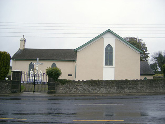 Catholic Church of Saint John the Baptistchurch/chapel · 1.3 mi
 ToberauillinSpring · 2.2 mi
 European ashEuropean ash · 2.6 mi
 Monasteranenagh AbbeyHeritage attraction · 3.6 mi
 Biodiversity in the Maigue CatchmentVisitor information · 5.0 mi