What is recorded here
This is the record for a monument identified by The Discovery Programme, from medium-altitude aerial photographs taken in 1986 [see Doody, M. (2008) The Ballyhoura Hills Project, Discovery Programme Monograph No 7, Wordwell, pp 65-100]. The reference for this monument is LI022: Bruff 7901: AP 4/3701.
A Neolithic ring-barrow; significant as a rare funerary monument type in the region, reflecting early ceremonial and burial practices.
The monument record does not grant public access. Check the route and ask the landowner before entering private land.
- What survives
- Recorded monument
Places near here
 Dotted outlineBawn · 342 yd
 (Site of) Garryellen CastleCastle, unclassified · 353 yd
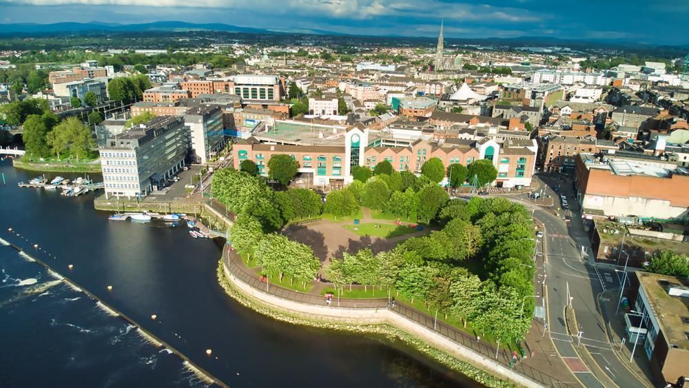 Field system in GarryellenField system · 549 yd
 Hachured - Externally indicatedFairy fort / earthen ringfort · 586 yd
 RoadRoad, road/trackway · 1147 yd
 Villiers WellSpring · 1308 yd
 Carnane RockNamed rock · 1.1 mi
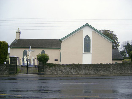 Catholic Church of Saint John the Baptistchurch/chapel · 1.3 mi
 ToberauillinSpring · 2.2 mi
 European ashEuropean ash · 2.6 mi
 Monasteranenagh AbbeyHeritage attraction · 3.6 mi
 Biodiversity in the Maigue CatchmentVisitor information · 5.0 mi