What is recorded here
In pasture, on level area in NE corner of field. Identified on an aerial photography (OS 9874/3). Well-preserved circular area (diam. 10m) defined by internal fosse (basal Wth 0.6m; overall Wth 3.8-3.85m; D 0.1-0.2m) and slight outer bank/lip (Wth 3.75-4m; int. H 0.3m; ext. H 0.1-0.2m). Interior slopes down gently to fosse.
Compiled by: Jean Farrelly
Date of upload: 26 August 2011
A Neolithic ring-barrow, c. 2500–2000 BCE, characterized by a circular earthen mound with an internal fosse. Its well-preserved structure provides insight into early funerary and ritual practices in the region.
The monument record does not grant public access. Check the route and ask the landowner before entering private land.
- What survives
- Recorded monument
Places near here
 Flour MillWater mill, vertical-wheeled · 103 yd
 Almshouse in FethardAlmshouse · 141 yd
 European YewEuropean Yew · 149 yd
 Edmond's CastleCastle · 153 yd
 Grave YardGraveyard · 156 yd
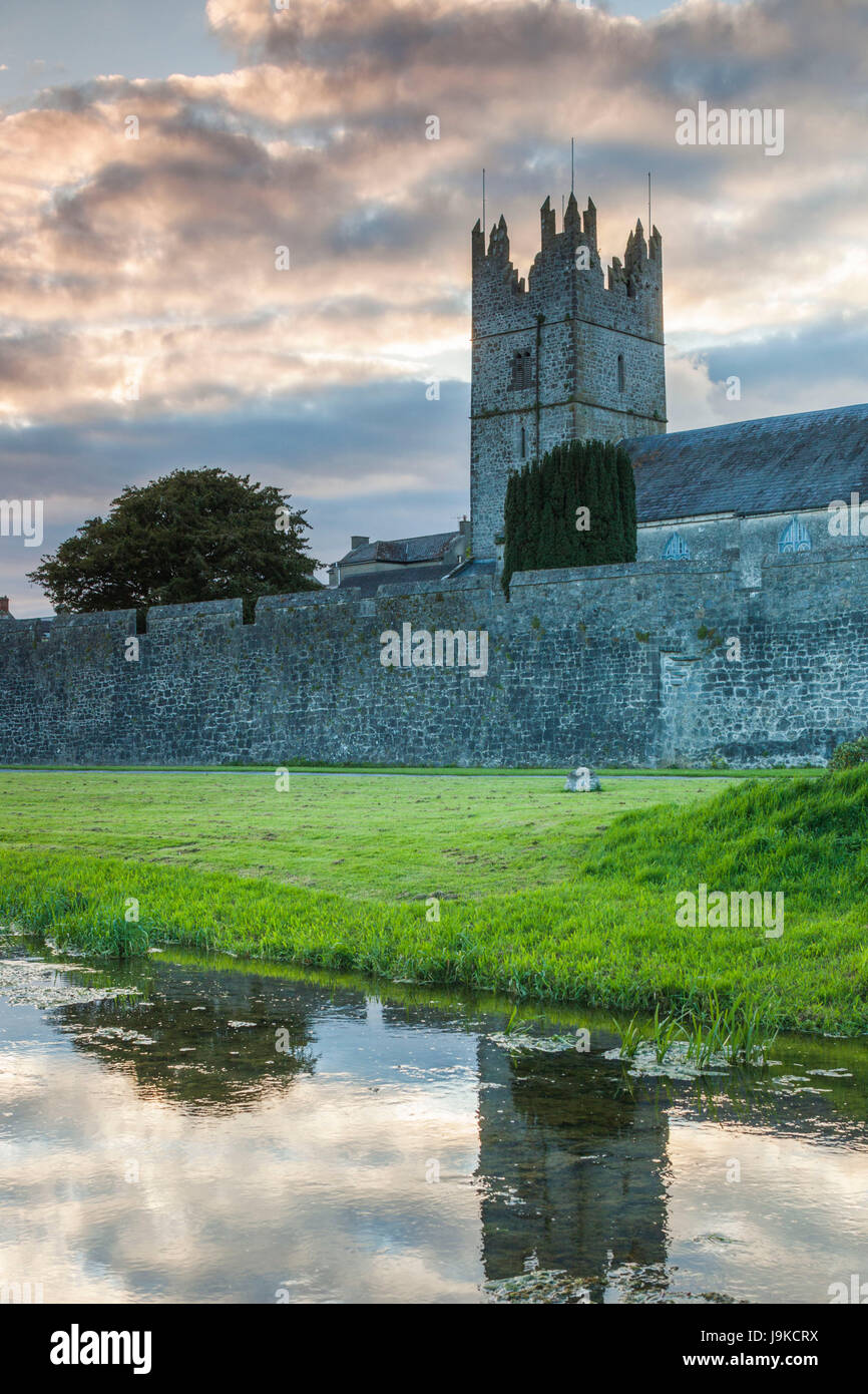
 Church in FethardChurch · 172 yd
 Court CastleCastle · 185 yd
 East GateMemorial · 267 yd
 Grove WoodForest · 1.0 mi
 Kilknockan HillMountain / peak · 1.3 mi
 CarrigdotiaMountain / peak · 4.3 mi
 Holy Trinity Church (Fethard)church/chapel · 173 yd