What is recorded here
In pastureland. A circular enclosure (diam. c. 24m) is visible on Google Earth aerial imagery dated March 2018 and on OSi digitalglobe imagery (2011-2013). Identified and reported by Jean-Charles Caillère. Possibly a ring-barrow.
The following image has been uploaded: GA084-157-----_01.jpg Google Earth image (March 2018)
Compiled by: Olive Alcock
Date of upload: 20 July 2022
The monument record does not grant public access. Check the route and ask the landowner before entering private land.
- What survives
- Recorded monument
Places near here
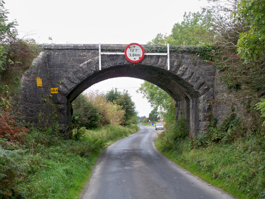 bridgebridge · 667 yd
 Church (in ruins)Church · 1176 yd
 First Battle of Athenrybattle · 1247 yd
 Castle (in ruins)Castle, tower house · 1348 yd
 CaherroynFairy fort / earthen ringfort · 1.2 mi
 Horse-chestnutHorse-chestnut · 1.2 mi
 Cross (present location) in Raheen (athenry By.)Cross (present location) · 1.3 mi
 Convent (in ruins)Castle, ringwork · 1.4 mi
 Athenry CastleHeritage attraction · 1.4 mi
 Athenry AbbeyHeritage attraction · 1.6 mi
 The HazelWood · 3.2 mi
 Leadmine HillMountain / peak · 11 mi