What is recorded here
In level pasture. This ring-barrow is defined by a roughly circular central mound (17m ESE-WNW; 15m NNE-SSW), which is surrounded by a well-preserved fosse (Wth 2.4-2.7m; D 0.7-0.8m) and a substantial bank (Wth 6.55-7.5m; int. H 1.4m; ext. H 0.6-0.7m) of earth and stone. A causewayed entrance (Wth 3.5m) cuts through bank and across fosse (Wth 6m) at ESE. A NNW-SSE running trackway (Wth 2.7m) truncates the edge of outer bank at W. A shallow circular depression (diam. c. 11m) is visible within the interior to the W.
The following images, courtesy of M. O'Leary, have been uploaded:
GA084-138----_01.jpg
GA084-138-----02.jpg
Compiled by: Olive Alcock
Date of upload: 11 July 2023
A ring-barrow, likely dating to the Early Bronze Age, characterized by a central mound, surrounding fosse, and bank. Such monuments are significant as they represent early funerary and ritual practices in the Irish landscape.
The monument record does not grant public access. Check the route and ask the landowner before entering private land.
- What survives
- Recorded monument
Places near here
 Oliver Brown Monumentmonument · 1038 yd
 IndicatedEnclosure · 1243 yd
 TobernaveanHoly well · 1364 yd
 Convent (in ruins)Castle, ringwork · 1631 yd
 RoadRoad, road/trackway · 1661 yd
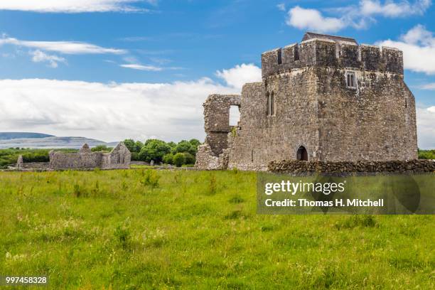 Kilskeagh castleCastle · 1.8 mi
 The HazelWood · 2.2 mi
 First Battle of Athenrybattle · 2.9 mi
 Horse-chestnutHorse-chestnut · 3.2 mi
 Athenry CastleHeritage attraction · 3.5 mi
 Athenry AbbeyHeritage attraction · 3.6 mi
 Rabbit IslandIslet · 9.8 mi