What is recorded here
Barrow is a ring-barrow on the SW hillslope of Binn Shléibhe/Ben Levy in County Galway, Ireland. It overlooks Lough Corrib and an inlet of Lough Mask, while rough grazing and cut-away bogland surround its small peaty mound, wet fosse and outer bank. The place may have marked burial, boundary or ceremony, but its true purpose still withdraws like water into bog.
This ring-barrow was discoverd by Mr. Colm Mac Diarmada (pers. comm. December 2014). It is in an upland area of rough grazing and cut-away bogland on a plateau on the SW hillslope of Binn Shléibhe/Ben Levy. Panoramic views - overlooking Lough Corrib to the SE and an inlet of Lough Mask to the NW.
The ring-barrow is defined by a central mound (max. H 0.5m; base Wth 2.9m; top Wth 0.7m) that is surrounded by a wet fosse (max. Wth 1.2m) and outer bank (int. H 0.3m; ext. H 0.4m; base Wth 0.92m; top Wth 0.3m). The mound and bank are composed of peaty soil interspersed with stone. A narrow gap (Wth 0.5m) cutting through the bank at SW appears to be a later feature. There is a possible hut site (GA026-021----) c. 55m to the SW and a standing stone (GA026-019----) lies c. 260 m to the SSE.
Compiled by: Olive Alcock
Date of upload: 22 October 2015
A ring-barrow, likely dating to the Early Bronze Age, associated with burial practices in upland landscapes. Its location suggests a ceremonial or territorial significance within a prehistoric landscape of ritual and memory.
The monument record does not grant public access. Check the route and ask the landowner before entering private land.
- What survives
- Recorded monument
Places near here
 Binn ShléibheMountain / peak · 1090 yd
 Crannog in Baile DhúlochaCrannog · 1634 yd
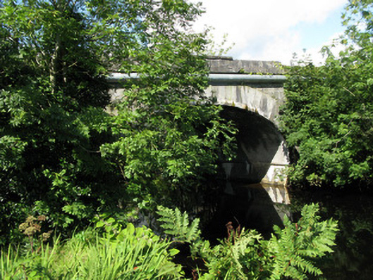 Cornamona Bridgebridge · 1734 yd
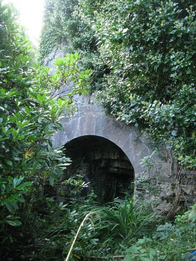 kilnkiln · 1.0 mi
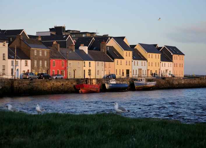 Roeillaun SouthIslet · 1.9 mi
 Bush IslandIslet · 1.9 mi
 Enclosure in An Chloch Bhreac UachtairEnclosure · 2.0 mi
 Ballindeonagh Castle (in ruins)Castle, unclassified · 2.9 mi
 Doon RockNamed rock · 3.3 mi
 Coill na FaircheWood · 3.3 mi
 CastlekirkCastle · 4.0 mi
 KeeraunnageeraghMountain / peak · 4.0 mi