What is recorded here
On a low rise in the NE corner of an undulating field in pasture immediately S of the road from Lisdoonvarna to Doolin with good views E-S-W. A possible ring-barrow with a central mound (Wth c. 5.5m) surrounded by a fosse (Wth c. 1.6m). An uneven low external bank (Wth c. 2.4m) is visible on a Google Earth image taken on 23 January 2010. A small area has been disturbed by animal poaching at SW. Portion of the rise may have continued into the adjacent field to the E and the N-S field boundary may slightly truncate the monument.
Compiled by: Mary Tunney
Date of upload: 14 August 2019
A Neolithic ring-barrow, dating to approximately 3000–2500 BCE, characterized by a central earthen mound surrounded by a ditch. Such monuments are significant as they represent early communal burial practices and social organization in prehistoric Ireland.
The monument record does not grant public access. Check the route and ask the landowner before entering private land.
- What survives
- Recorded monument
Places near here
 Spectacle Bridgebridge · 854 yd
 IndicatedFairy fort / earthen ringfort · 953 yd
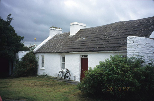 farm housefarm house · 1247 yd
 Knockaskeheen CaherFairy fort / stone ringfort · 1304 yd
 St. Catherine's OneCave · 1.6 mi
 Doolin Road SinkCave · 1.6 mi
 Doolin Cave Visitor CentreHeritage attraction · 2.0 mi
 Ballyteigue Nature ReserveNature reserve · 2.0 mi
 Ballinalacken CastleCastle · 2.1 mi
 CastleCastle, unclassified · 2.3 mi
 The BurrenHeritage attraction · 3.6 mi
 OughtdarraCliff · 3.7 mi