What is recorded here
Situated on the summit of a natural rise, close to the W edge of a gradual fall, overlooking a valley at the base of the slope. The site consists of a flat central area (14.3m N-S; 15m E-W) enclosed by a compact earthen bank (Wth 2.3m; int. H 0.35-0.55m; ext. H 0.18-0.35m), less visible at S. An entrance gap (Wth 3m) is visible at ESE. There is a small standing stone (TN039-011002-) in the interior in the SW sector with a second stone (TN039-011003-) standing at the entrance at ESE, in line with the outer edge of the bank.
The above description is derived from 'The Archaeological Inventory of County Tipperary. Vol. 1 - North Tipperary' compiled by Jean Farrelly and Caimin O'Brien (Dublin: Stationery Office, 2002). In certain instances the entries have been revised and updated in the light of recent research.
Date of upload/revision: 22 September 2008
Pond barrow, dating to the Early Bronze Age. This type of monument is significant as an early form of burial and ceremonial structure, reflecting early funerary practices and landscape use in prehistoric Britain.
The monument record does not grant public access. Check the route and ask the landowner before entering private land.
- What survives
- Recorded monument
Places near here
 Site of Cashlauncreen CastleCastle, tower house · 1235 yd
 Wedge tomb in Knockcurraghbola CommonsWedge tomb · 1.3 mi
 Templeougher (site of)Church · 1.6 mi
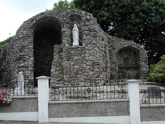 shrine/oratory/grottoshrine/oratory/grotto · 1.6 mi
 Catholic Church of the Sacred Heartchurch/chapel · 1.6 mi
 Moher HillMountain / peak · 2.1 mi
 KnockmaroeMountain / peak · 2.3 mi
 Drumbane CastleCastle · 4.0 mi
 Drum WoodWood · 4.9 mi
 Killavalla WoodForest · 7.5 mi
 Silvermines ViewpointViewpoint · 10.0 mi
 Our Lady Assumed into HeavenMemorial · 11 mi